
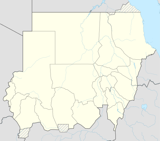
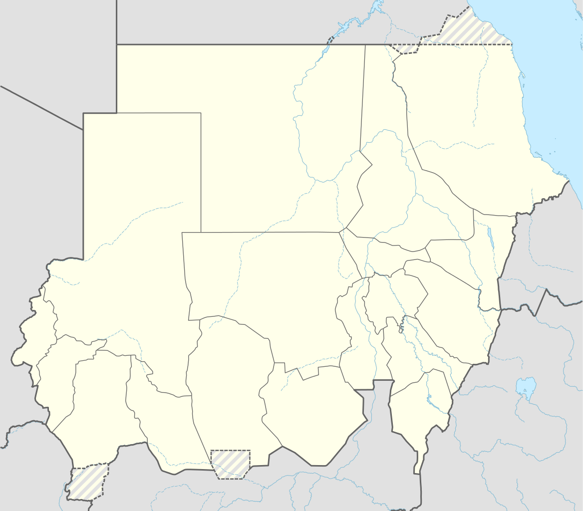
Ficheru:Sudan adm location map.svg

Ficheru orixinal (ficheru SVG, 1654 × 1450 píxels nominales, tamañu de ficheru: 251 kB)
Resume
| Descripción |
Deutsch: Positionskarte von Sudan
English: Location map of Sudan
|
||||||||||||
| Data | |||||||||||||
| Fonte |
Trabajo propio utilizando:
|
||||||||||||
| Autor | NordNordWest | ||||||||||||

|
Este mapa se ha hecho o mejorado en el Kartenwerkstatt (taller cartográfico) alemán. También puede proponer mapas para mejorar.
|
Llicencia
Usage of this file with:

explanatory notes: Legally binding is only the full legalcode. For a free usage I recommend to respect the following licence conditions:
1. Provide my name as given above: NordNordWest,
2. a copy of, or the URI for, the applicable license: https://creativecommons.org/licenses/by-sa/3.0/de/legalcode,
3. the title of the work,
4. in the case of an adaptation, a credit identifying the use of the work in the adaptation.
This license and the rights granted hereunder will terminate automatically upon any breach by you of the terms of this license. Any of the above conditions can be waived if you get permission from the copyright holder. If you have questions or wish differing conditions, please contact me through nnwest or my discussion page ![]() t-online.de
t-online.de
- Ye llibre:
- pa compartir – pa copiar, distribuir y comunicar públicamente la obra
- pa remezclar – p'adautar la obra
- Baxo les condiciones siguientes:
- reconocimientu – Tienes de dar el créitu apropiáu, apurrir un enllaz a la llicencia ya indicar si realizasti dalgún cambéu. Puedes faelo de cualquier mou razonable ,pero non de manera que suxera l'encontu del autor pa ti o pal usu que faigas.
- compartir igual – Si entemeces, tresformes o te bases nesti material, tienes de distribuir les tos contribuciones baxo la mesma llicencia o una compatible cola orixinal.

Historial del ficheru
Calca nuna fecha/hora pa ver el ficheru como taba daquella.
| Data/Hora | Miniatura | Dimensiones | Usuariu | Comentariu | |
|---|---|---|---|---|---|
| actual | 11:05 25 mar 2015 | | 1654 × 1450 (251 kB) | NordNordWest | upd |
| 18:07 12 pay 2014 |  | 1654 × 1450 (251 kB) | NordNordWest | == {{int:filedesc}} == {{Information |Description= {{de|1=Positionskarte von Sudan}} {{en|1=Location map of Sudan}} {{Location map series N |stretching=103 |top=23.3 |bottom=8.4 |left=21.5 |right=39.0 }} |Source={{Own using}} * United States National I... |
Usu del ficheru
Les páxines siguientes usen esti ficheru:
Usu global del ficheru
Estes otres wikis usen esti ficheru:
- Usu en af.wikipedia.org
- Usu en an.wikipedia.org
- Usu en ar.wikipedia.org
- Usu en arz.wikipedia.org
- Usu en azb.wikipedia.org
- ام درمان
- کادوقلی
- نیاله
- شندی (سودان)
- دلنج
- الدبه، سودان
- بور سودان
- کتم
- کسلا
- عبری، سودان
- سواکن
- القضارف
- الجنینه
- الروصیرص
- الدمازین
- الفاشر
- بربر، سودان
- وادی حلفا
- سنار (سودان)
- الدامر
- کرمک، سودان
- دنقلا
- عطبره (سودان)
- القطینه
- ام بادر
- الضعین
- سنجه (سودان)
- کریمه، سودان
- هیا، سودان
- شواک
- الجبلیان
- بابنوسه
- طوکر
- ابو حامد
- تلودی
- الرهد، سودان
- النهود
- ام روابه
- کورتی، سودان
- العمارات، خرطوم
Ver más usos globales d'esti ficheru.