
Ficheru:Location map Padania.png

Tamañu d'esta previsualización: 721 × 600 pixels. Otres resoluciones: 289 × 240 pixels | 577 × 480 pixels | 924 × 768 pixels | 1232 × 1024 pixels | 1442 × 1199 pixels.
Ficheru orixinal (1442 × 1199 píxels, tamañu de ficheru: 355 kB, triba MIME: image/png)
Resume
| Descripción |
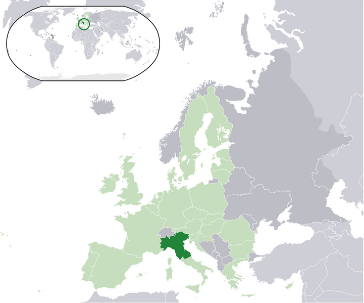
English: Map of the proposed state of Padania (advocated by Northern League)
Italiano: Mappa della Padania, come proposta dalla Lega Nord. |
| Data | |
| Fonte | Trabayu propiu |
| Autor | Pattyone |
Llicencia
| Yo, el titular de los drechos d'autor d'esta obra, la llibero como dominiu públicu. Esto s'aplica nel mundu ensembre. En dellos países seique esto nun seya posible llegalmente; nesti casu: Doi a cualesquier persona permisu pa usar esta obra pa cualesquier propósitu, ensin denguna condición, menos si eses condiciones requierense pola llei. |
Historial del ficheru
Calca nuna fecha/hora pa ver el ficheru como taba daquella.
| Data/Hora | Miniatura | Dimensiones | Usuariu | Comentariu | |
|---|---|---|---|---|---|
| actual | 15:17 16 xin 2016 | | 1442 × 1199 (355 kB) | Tromber | Croatia is a member of the European Union. The country is now marked in light green. |
| 15:16 16 xin 2016 |  | 1442 × 1199 (355 kB) | Tromber | Croatia is a member of the European Union. The country is now marked in light green. | |
| 15:14 16 xin 2016 |  | 1442 × 1199 (355 kB) | Tromber | Croatia is a member of the European Union. The country is now marked in light green. | |
| 10:08 27 ago 2009 |  | 2056 × 1710 (193 kB) | Pattyone | {{Information |Description={{en|1=Map of the proposed state of Padania}} |Source=Own work by uploader |Author=Pattyone |Date=2009-08-27 |Permission= |other_versions= }} Category:Padania |
Usu del ficheru
La páxina siguiente usa esti ficheru:
Usu global del ficheru
Estes otres wikis usen esti ficheru:
- Usu en de.wikipedia.org
- Usu en en.wikipedia.org
- Usu en es.wikipedia.org
- Usu en et.wikipedia.org
- Usu en fa.wikipedia.org
- Usu en fr.wikipedia.org
- Usu en hr.wikipedia.org
- Usu en hu.wikipedia.org
- Usu en id.wikipedia.org
- Usu en is.wikipedia.org
- Usu en it.wikipedia.org
- Usu en pt.wikipedia.org
- Usu en ro.wikipedia.org
- Usu en tr.wikipedia.org
- Usu en vec.wikipedia.org
- Usu en www.wikidata.org
- Usu en zh.wikipedia.org