
Ficheru:Barbados location map.svg

Tamañu de la vista previa PNG d'esti ficheru SVG: 539 × 599 pixels. Otres resoluciones: 216 × 240 pixels | 432 × 480 pixels | 691 × 768 pixels | 921 × 1024 pixels | 1843 × 2048 pixels | 1205 × 1339 pixels.
Ficheru orixinal (ficheru SVG, 1205 × 1339 píxels nominales, tamañu de ficheru: 125 kB)
Resume
| Descripción |
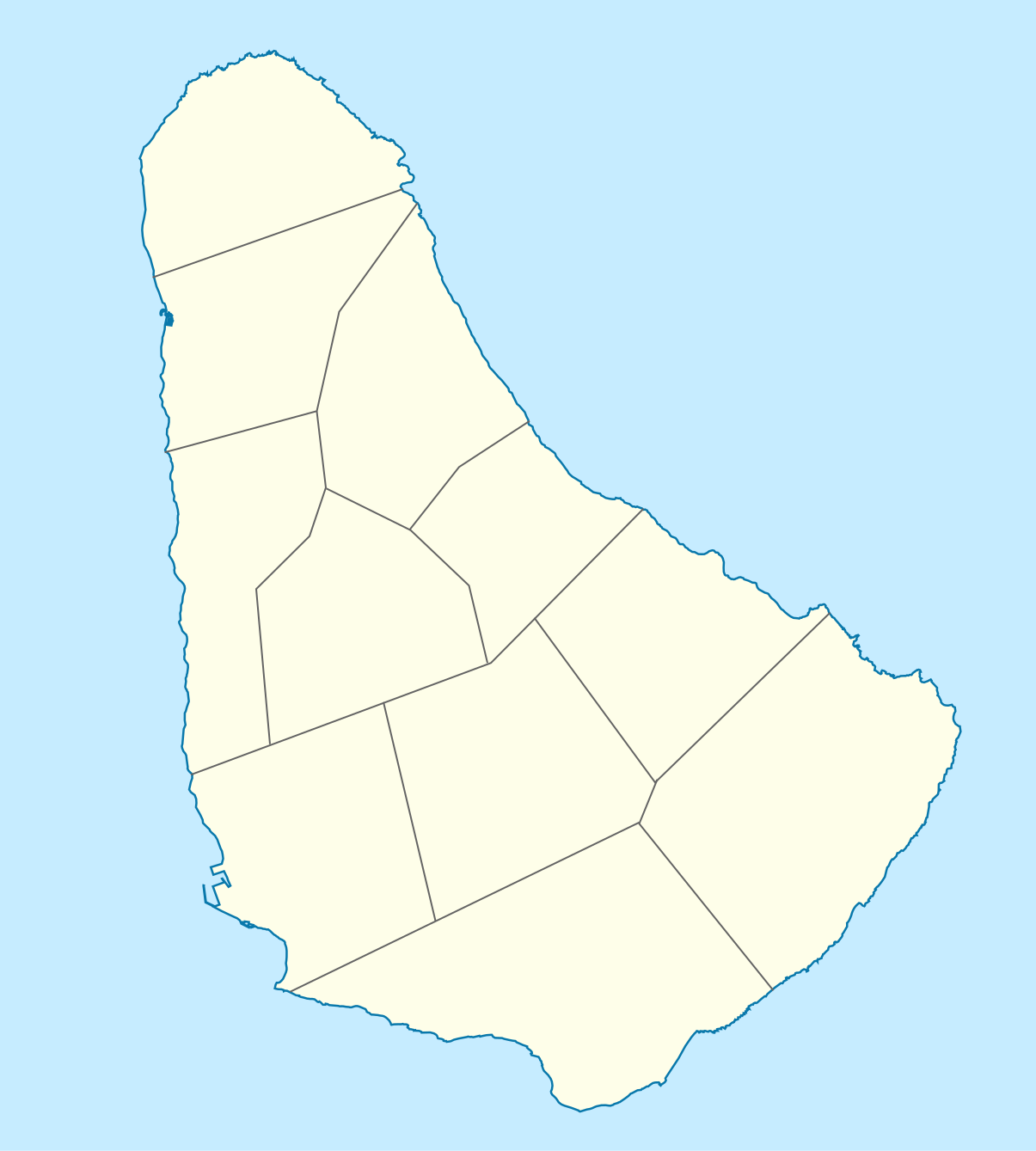
Deutsch: Positionskarte von Barbados. Geographische Begrenzungen der Karte:
English: Location map of Barbados. Geographic limits of the map:
|
| Data | |
| Fonte |
Trabayu propiu, using
|
| Autor |
Graphic made by Carport |
Llicencia
Este archivo se encuentra bajo la licencia Creative Commons Genérica de Atribución/Compartir-Igual 2.0.
- Ye llibre:
- pa compartir – pa copiar, distribuir y comunicar públicamente la obra
- pa remezclar – p'adautar la obra
- Baxo les condiciones siguientes:
- reconocimientu – Tienes de dar el créitu apropiáu, apurrir un enllaz a la llicencia ya indicar si realizasti dalgún cambéu. Puedes faelo de cualquier mou razonable ,pero non de manera que suxera l'encontu del autor pa ti o pal usu que faigas.
- compartir igual – Si entemeces, tresformes o te bases nesti material, tienes de distribuir les tos contribuciones baxo la mesma llicencia o una compatible cola orixinal.
Historial del ficheru
Calca nuna fecha/hora pa ver el ficheru como taba daquella.
| Data/Hora | Miniatura | Dimensiones | Usuariu | Comentariu | |
|---|---|---|---|---|---|
| actual | 14:12 22 pay 2009 | | 1205 × 1339 (125 kB) | Carport | {{Information |Description={{de|1=Positionskarte von {{w|Barbados|Barbados|de}}. Geographische Begrenzungen der Karte: * N: 13.349° N * S: 13,034° N * W: 59,690° W * E: 59,399° W}} {{en|1=Location map of {{w|Barbados}}. Geographic limits of the map: |
Usu del ficheru
Les páxines siguientes usen esti ficheru:
Usu global del ficheru
Estes otres wikis usen esti ficheru:
- Usu en af.wikipedia.org
- Usu en als.wikipedia.org
- Usu en an.wikipedia.org
- Usu en ar.wikipedia.org
- Usu en az.wikipedia.org
- Usu en ba.wikipedia.org
- Usu en be.wikipedia.org
- Usu en bg.wikipedia.org
- Usu en bn.wikipedia.org
- Usu en bs.wikipedia.org
- Usu en ceb.wikipedia.org
- Plantilya:Location map Barbados
- South Point
- Saint Philip
- Saint John
- Saint George
- Pelican Island
- Pelican Islet
- Long Bay
- Crab Hill
- North Point
- Mount Misery
- Round Rock
- Green Point
- Indian River
- Bell Point
- Christchurch (pagklaro)
- Lambert Point
- Horse Hill
- Bridgetown
- Freshwater Bay
- Saint Andrews
- Greenland
- Cave Bay
- Paynes Bay
- The Salt Lakes
- Lakes Beach
- Walkers Beach
- Dover Beach
- Cherry Tree Hill
- The Hole
- Crane
Ver más usos globales d'esti ficheru.