
Ficheru:Cook Islands location map.svg

Tamañu de la vista previa PNG d'esti ficheru SVG: 571 × 599 pixels. Otres resoluciones: 229 × 240 pixels | 457 × 480 pixels | 732 × 768 pixels | 976 × 1024 pixels | 1951 × 2048 pixels | 827 × 868 pixels.
Ficheru orixinal (ficheru SVG, 827 × 868 píxels nominales, tamañu de ficheru: 22 kB)
Resume
| Descripción |
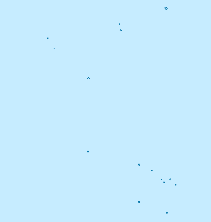
Deutsch: Positionskarte der Cookinseln
Quadratische Plattkarte, N-S-Streckung 105 %. Geographische Begrenzung der Karte:
English: Location map of the Cook Islands
Equirectangular projection, N/S stretching 105 %. Geographic limits of the map:
|
| Data | |
| Fonte | own work, using United States National Imagery and Mapping Agency data |
| Autor | NordNordWest |

|
Este mapa se ha hecho o mejorado en el Kartenwerkstatt (taller cartográfico) alemán. También puede proponer mapas para mejorar.
|
Llicencia
Yo, el titular de los drechos d'autor d'esta obra, la espublizo baxo les siguientes llicencies:

|
Autorízase la copia, distribución y/o cambéu d'esti documentu baxo los términos de la Llicencia de documentación llibre GNU, versión 1.2 o cualesquier otra que nel futuru espublice la Free Software Foundation; ensin seiciones invariables, testos de portada, nin testos de contraportada. S'inclúi una copia de la llicencia na seición titulada GNU Free Documentation License. |
Este archivo se encuentra bajo la licencia Creative Commons Atribución 3.0 Unported.
- Ye llibre:
- pa compartir – pa copiar, distribuir y comunicar públicamente la obra
- pa remezclar – p'adautar la obra
- Baxo les condiciones siguientes:
- reconocimientu – Tienes de dar el créitu apropiáu, apurrir un enllaz a la llicencia ya indicar si realizasti dalgún cambéu. Puedes faelo de cualquier mou razonable ,pero non de manera que suxera l'encontu del autor pa ti o pal usu que faigas.
Pues seleicionar la llicencia que prefieras.
Historial del ficheru
Calca nuna fecha/hora pa ver el ficheru como taba daquella.
| Data/Hora | Miniatura | Dimensiones | Usuariu | Comentariu | |
|---|---|---|---|---|---|
| actual | 19:02 16 pay 2011 | | 827 × 868 (22 kB) | NordNordWest | upd |
| 16:57 16 abr 2009 |  | 827 × 868 (15 kB) | NordNordWest | corr | |
| 09:14 16 abr 2009 |  | 591 × 868 (15 kB) | NordNordWest | {{Information |Description= {{de|Positionskarte der Cookinseln}} Quadratische Plattkarte, N-S-Streckung 105 %. Geographische Begrenzung der Karte: * N: 8.5° S * S: 22.5° S * W: 166.5° W * O: 156.5° W {{en|Location map of the [[:en:C |
Usu del ficheru
Les páxines siguientes usen esti ficheru:
Usu global del ficheru
Estes otres wikis usen esti ficheru:
- Usu en af.wikipedia.org
- Usu en an.wikipedia.org
- Usu en ar.wikipedia.org
- Usu en az.wikipedia.org
- Usu en be.wikipedia.org
- Usu en bg.wikipedia.org
- Usu en bn.wikipedia.org
- Usu en ceb.wikipedia.org
- Plantilya:Location map Cook Islands
- Papua
- North Point
- Long Rock
- Black Rock
- North Rock
- Halfway Rock
- Papa (pagklaro)
- Patanga (pagklaro)
- Lahu
- Nicholson Island
- Danger Islands
- Anchorage Island
- Entrance Island
- High Island
- Whale Island
- One Tree Island
- San Pablo
- South Reef
- North Island
- Northwest Pass
- New Island
- Palmerston
- John Point
- North East Reef
- Palmerston Island
- Hervey Islands
- Bird Islands
- Round Reef
- Marriott Reef
- Mangaia
- Home Island
- Wale
Ver más usos globales d'esti ficheru.