
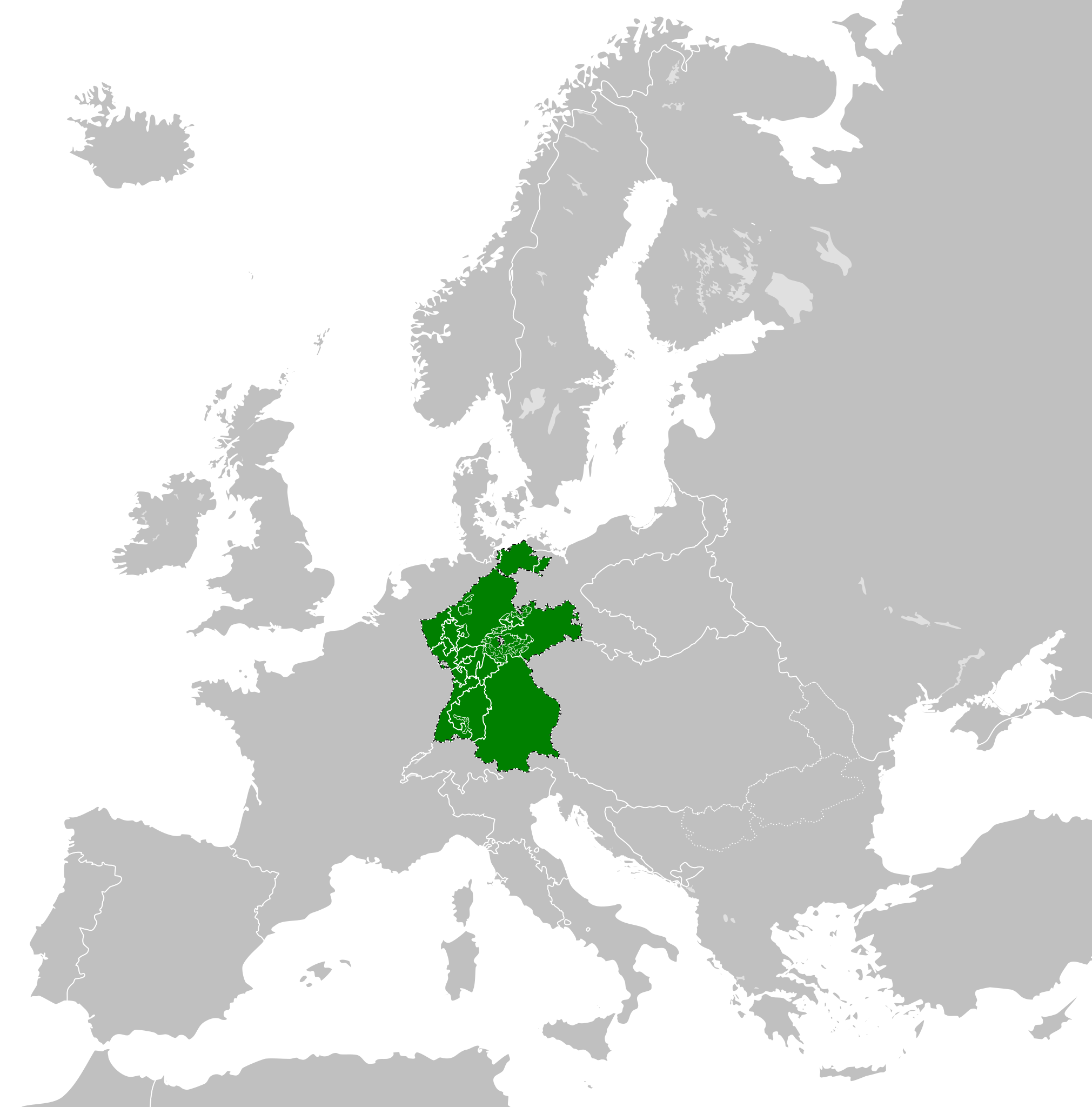
Ficheru:Confederation of the Rhine (1812).svg

Tamañu de la vista previa PNG d'esti ficheru SVG: 450 × 456 pixels. Otres resoluciones: 237 × 240 pixels | 474 × 480 pixels | 758 × 768 pixels | 1011 × 1024 pixels | 2021 × 2048 pixels.
Ficheru orixinal (ficheru SVG, 450 × 456 píxels nominales, tamañu de ficheru: 611 kB)
Resume


.svg)
.svg)
.svg)
.svg)
.svg)


.svg)
.svg)
.svg)


.png)
.png)


.svg)


.svg)

.svg)


.svg)
.svg)
.svg)
.svg)


.svg)
.png)


.svg)


.svg)
.svg)


.svg)


.svg)


.svg)
.svg)
.svg)
.svg)
.svg)
.svg)
.svg)
.svg)
_cropped.svg)
.svg)
.svg)
.svg)
.svg)
.svg)
.svg)
.svg)
.svg)
.svg)
.svg)
.svg)
.svg)
.svg)
.svg)
.svg)
.svg)
.svg)
.svg)
.svg)
.svg)
.svg)
.svg)
.svg)
.svg)
.svg)
.svg)
.svg)
.svg)
.svg)
.svg)
.svg)
.svg)
.svg)
.svg)
.svg)
.svg)
.svg)
.svg)
.svg)
.svg)
.svg)
.svg)
.svg)
.svg)
.svg)
Historial del ficheru
Calca nuna fecha/hora pa ver el ficheru como taba daquella.
| Data/Hora | Miniatura | Dimensiones | Usuariu | Comentariu | |
|---|---|---|---|---|---|
| actual | 14:59 5 xin 2018 | | 450 × 456 (611 kB) | TRAJAN 117 | +++ |
| 15:35 3 och 2013 |  | 450 × 456 (607 kB) | Alphathon | Added constituent states | |
| 18:34 30 xnt 2012 |  | 450 × 456 (464 kB) | Alphathon | Fixed some principalities | |
| 17:07 23 feb 2012 |  | 450 × 456 (444 kB) | TRAJAN 117 | {{Information |Description ={{en|1=The Confederation of the Rhine in 1812.}} |Source ={{own}} {{AttribSVG|First French Empire 1812.svg|Alphathon}} |Author =25px '''[[User:TRAJAN 117|TRAJAN 1... |
Usu del ficheru
La páxina siguiente usa esti ficheru:
Usu global del ficheru
Estes otres wikis usen esti ficheru:
- Usu en azb.wikipedia.org
- Usu en be.wikipedia.org
- Usu en cs.wikipedia.org
- Usu en da.wikipedia.org
- Usu en de.wikipedia.org
- Usu en el.wikipedia.org
- Usu en en.wikipedia.org
- Usu en es.wikipedia.org
- Usu en eu.wikipedia.org
- Usu en fi.wikipedia.org
- Usu en gd.wikipedia.org
- Usu en gl.wikipedia.org
- Usu en he.wikipedia.org
- Usu en hr.wikipedia.org
- Usu en hu.wikipedia.org
- Usu en id.wikipedia.org
- Usu en it.wikipedia.org
- Usu en ja.wikipedia.org
- Usu en ko.wikipedia.org
- Usu en lt.wikipedia.org
- Usu en lv.wikipedia.org
- Usu en mk.wikipedia.org
- Usu en mn.wikipedia.org
- Usu en ms.wikipedia.org
- Usu en pl.wikipedia.org
- Usu en pt.wikipedia.org
- Usu en ru.wikipedia.org
- Usu en sco.wikipedia.org
- Usu en sk.wikipedia.org
- Usu en sl.wikipedia.org
- Usu en sv.wikipedia.org
- Usu en th.wikipedia.org
- Usu en tr.wikipedia.org
- Usu en www.wikidata.org
- Usu en zh-yue.wikipedia.org
- Usu en zh.wikipedia.org
.svg)