
Ficheru:Bermuda location map.svg

Tamañu de la vista previa PNG d'esti ficheru SVG: 800 × 545 pixels. Otres resoluciones: 320 × 218 pixels | 640 × 436 pixels | 1024 × 698 pixels | 1280 × 872 pixels | 2560 × 1744 pixels | 1311 × 893 pixels.
Ficheru orixinal (ficheru SVG, 1311 × 893 píxels nominales, tamañu de ficheru: 58 kB)
Resume
| Descripción |
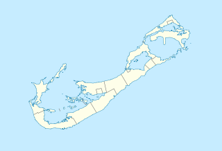
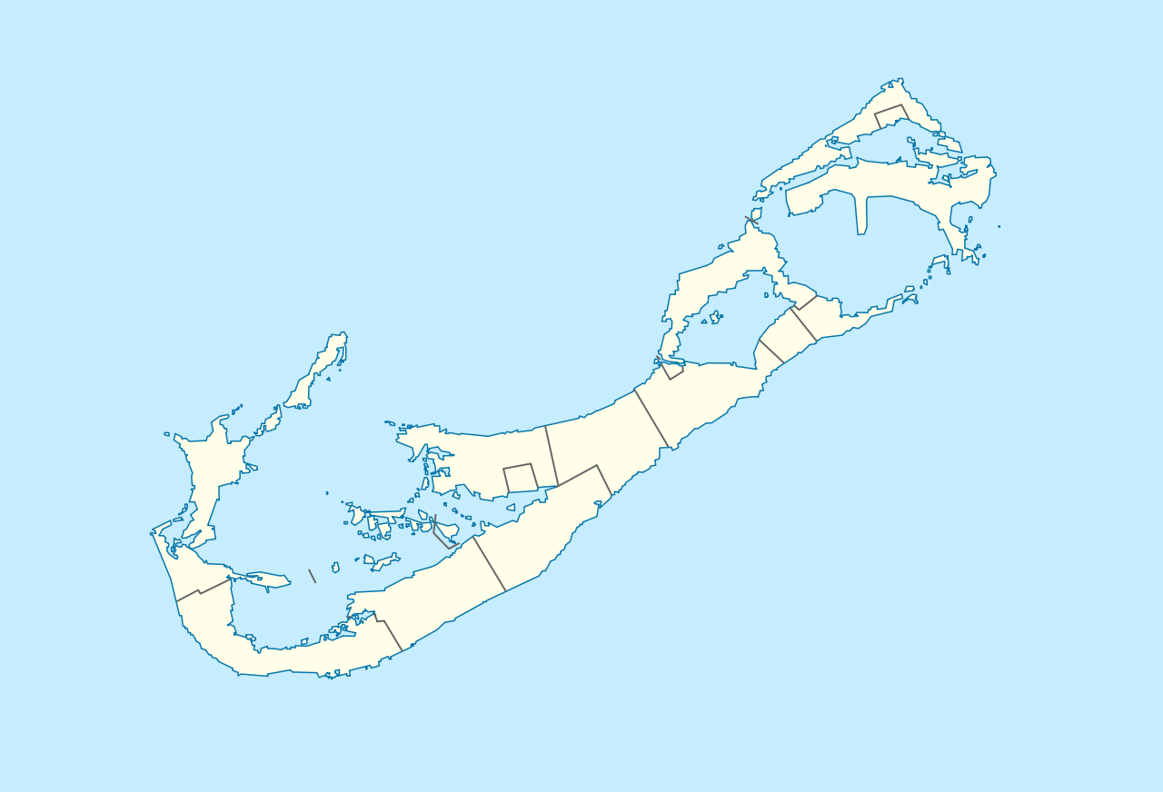
Deutsch: Positionskarte von Bermuda
Geographische Begrenzung der Karte:
English: Location map of Bermuda
Geographic limits of the map:
|
||||||||||||
| Data | |||||||||||||
| Fonte | Trabayu propiu | ||||||||||||
| Autor | NordNordWest | ||||||||||||
| Permisu (Cómo reutilizar esti ficheru) |
|

|
Este mapa se ha hecho o mejorado en el Kartenwerkstatt (taller cartográfico) alemán. También puede proponer mapas para mejorar.
|
| Annotations | This image is annotated: View the annotations at Commons |
Historial del ficheru
Calca nuna fecha/hora pa ver el ficheru como taba daquella.
| Data/Hora | Miniatura | Dimensiones | Usuariu | Comentariu | |
|---|---|---|---|---|---|
| actual | 16:29 19 avi 2009 | | 1311 × 893 (58 kB) | NordNordWest | == {{int:filedesc}} == {{Information |Description= {{de|Positionskarte von Bermuda}} Geographische Begrenzung der Karte: * N: 32.41° N * S: 32.22° N * W: 64.93° W * O: 64.6° W {{en|Location map of Bermuda}} Geographic l |
Usu del ficheru
Les páxines siguientes usen esti ficheru:
Usu global del ficheru
Estes otres wikis usen esti ficheru:
- Usu en af.wikipedia.org
- Usu en an.wikipedia.org
- Usu en ar.wikipedia.org
- Usu en az.wikipedia.org
- Usu en ba.wikipedia.org
- Usu en be-tarask.wikipedia.org
- Usu en be.wikipedia.org
- Usu en bg.wikipedia.org
- Usu en bn.wikipedia.org
- Usu en bs.wikipedia.org
- Usu en ceb.wikipedia.org
- Plantilya:Location map United Kingdom Bermuda
- Grape Bay (luuk sa Bermuda)
- Spanish Point
- South Channel
- Soldier Point
- Saint George
- Port Royal Bay
- Rabbit Island
- Nonsuch Bay
- The Narrows
- Long Island
- Long Bay
- High Point
- Green Bay
- Grape Bay
- Great Bay
- Goat Island
- Crawl Point
- Bird Island
- North Point
- North Channel
- Pembroke
- Long Rock
- Black Rock
- Cat Island
- East Point
- White Point
Ver más usos globales d'esti ficheru.