
Ficheru:Anguilla location map.svg

Tamañu de la vista previa PNG d'esti ficheru SVG: 664 × 599 pixels. Otres resoluciones: 266 × 240 pixels | 532 × 480 pixels | 851 × 768 pixels | 1134 × 1024 pixels | 2269 × 2048 pixels | 1777 × 1604 pixels.
Ficheru orixinal (ficheru SVG, 1777 × 1604 píxels nominales, tamañu de ficheru: 56 kB)
Resume
| Descripción |
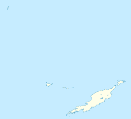
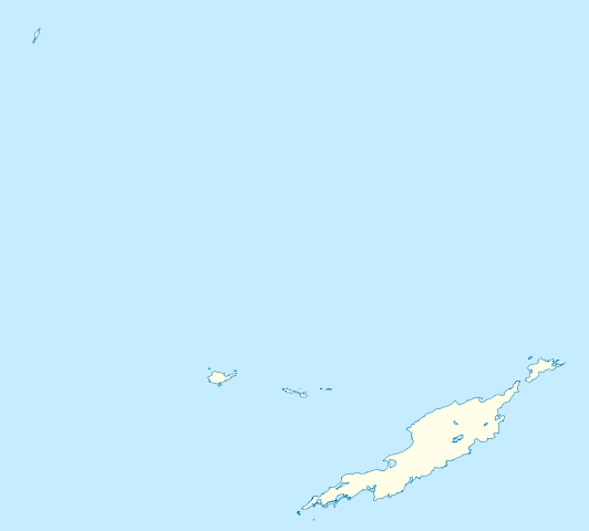
Deutsch: Positionskarte von Anguilla
Geographische Begrenzung der Karte:
English: Location map of Anguilla
Geographic limits of the map:
|
||||||||||||
| Data | |||||||||||||
| Fonte | Trabayu propiu | ||||||||||||
| Autor | NordNordWest | ||||||||||||
| Permisu (Cómo reutilizar esti ficheru) |
|
||||||||||||
| Otres versiones | Derivative works of this file: Anguilla islands.svg |

|
Este mapa se ha hecho o mejorado en el Kartenwerkstatt (taller cartográfico) alemán. También puede proponer mapas para mejorar.
|
Historial del ficheru
Calca nuna fecha/hora pa ver el ficheru como taba daquella.
| Data/Hora | Miniatura | Dimensiones | Usuariu | Comentariu | |
|---|---|---|---|---|---|
| actual | 18:34 3 may 2010 | | 1777 × 1604 (56 kB) | NordNordWest | == {{int:filedesc}} == {{Information |Description= {{de|Positionskarte von Anguilla}} Geographische Begrenzung der Karte: * N: 18.62° N * S: 18.14° N * W: 63.46° W * O: 62.90° W {{en|Location map of Anguilla}} Geograp |
Usu del ficheru
Les páxines siguientes usen esti ficheru:
Usu global del ficheru
Estes otres wikis usen esti ficheru:
- Usu en af.wikipedia.org
- Usu en an.wikipedia.org
- Usu en ar.wikipedia.org
- Usu en ba.wikipedia.org
- Usu en be.wikipedia.org
- Usu en bg.wikipedia.org
- Usu en bs.wikipedia.org
- Usu en ceb.wikipedia.org
- Anguilla
- Gumagamit:Lsj/Test
- Plantilya:Location map United Kingdom Anguilla
- Sandy Island
- Long Bay
- Great Bay
- Shoal Bay
- West Point
- West Cay
- Sandy Point
- Long Rock
- Little Island
- Blowing Rock
- Windward Point
- Warner Point
- The Valley
- Valley
- Stoney Bay
- Spring Bay
- Sombrero (pagklaro)
- Hat Island
- Sombrero Island
- Snake Point
- Lovers Point
- Seal Rocks
- Seal Island
- Seal Islets
- Seal Islands
- Scrub Island
- Scrub Islet
- Savannah Bay
- Sand Island
- Sandy Hill Bay
- Road Point
- Road Bay
- North Side
- Shannon Hill
- Mead Point
- Little Scrub Island
Ver más usos globales d'esti ficheru.