
Ficheru:Zambezi river basin-fr.svg

Tamañu de la vista previa PNG d'esti ficheru SVG: 800 × 511 pixels. Otres resoluciones: 320 × 204 pixels | 640 × 409 pixels | 1024 × 654 pixels | 1280 × 818 pixels | 2560 × 1636 pixels | 2931 × 1873 pixels.
Ficheru orixinal (ficheru SVG, 2931 × 1873 píxels nominales, tamañu de ficheru: 2,12 MB)
Resume
| Descripción | |||
| Data | |||
| Fonte |
Trabayu propiu (Texto original: «Own work ; Topographic background map : NASA Shuttle Radar Topography Mission (SRTM30 v.2) (public domain) edited with MicroDEM and dlgv32 Pro / Global Mapper ; UTM projection ; WGS84 datum ; References for the additional data : Demis World Map data (see the approval e-mail and the Demis forum) and UNESCO map ; Locator map : File:Africa map blank.svg (modified) created by myself.») |
||
| Autor | Eric Gaba (Sting - fr:Sting) | ||
| Permisu (Cómo reutilizar esti ficheru) |
|
||
| Otres versiones |
Obras derivadas de ésta: |
||
| SVG desarrollo |

Llicencia
I, Sting, titular de los drechos d'autor d'esta obra, la espubliza baxo les siguientes llicencies:

|
Autorízase la copia, distribución y/o cambéu d'esti documentu baxo los términos de la Llicencia de documentación llibre GNU, versión 1.2 o cualesquier otra que nel futuru espublice la Free Software Foundation; ensin seiciones invariables, testos de portada, nin testos de contraportada. S'inclúi una copia de la llicencia na seición titulada GNU Free Documentation License. |
| Esti ficheru ta disponible baxo la llicencia Creative Commons Reconocimientu-Compartir igual 3.0 xenérica. | ||
| Reconocimientu: I, Sting | ||
| ||
| Esta etiqueta de llicencia s'amestó a esti ficheru como parte del anovamientu de la llicencia GFDL. |
Este archivo se encuentra bajo la licencia Creative Commons de Atribución/Compartir-Igual 2.5 Genérica, 2.0 Genérica y 1.0 Genérica.
Reconocimientu: I, Sting
- Ye llibre:
- pa compartir – pa copiar, distribuir y comunicar públicamente la obra
- pa remezclar – p'adautar la obra
- Baxo les condiciones siguientes:
- reconocimientu – Tienes de dar el créitu apropiáu, apurrir un enllaz a la llicencia ya indicar si realizasti dalgún cambéu. Puedes faelo de cualquier mou razonable ,pero non de manera que suxera l'encontu del autor pa ti o pal usu que faigas.
- compartir igual – Si entemeces, tresformes o te bases nesti material, tienes de distribuir les tos contribuciones baxo la mesma llicencia o una compatible cola orixinal.
Pues seleicionar la llicencia que prefieras.
Historial del ficheru
Calca nuna fecha/hora pa ver el ficheru como taba daquella.
| Data/Hora | Miniatura | Dimensiones | Usuariu | Comentariu | |
|---|---|---|---|---|---|
| actual | 19:09 19 xin 2008 | | 2931 × 1873 (2,12 MB) | Sting | Trying other solution (part 2) |
| 19:03 19 xin 2008 |  | 2440 × 1560 (832 kB) | Sting | Trying other solution (part 1) | |
| 13:04 31 xnt 2007 |  | 2931 × 1873 (2,12 MB) | Sting | Again... | |
| 12:53 31 xnt 2007 |  | 2931 × 1873 (2,3 MB) | Sting | Again | |
| 12:46 31 xnt 2007 |  | 2931 × 1873 (2,31 MB) | Sting | Again | |
| 12:35 31 xnt 2007 |  | 2931 × 1873 (2,31 MB) | Sting | Again | |
| 12:16 31 xnt 2007 |  | 2931 × 1873 (2,31 MB) | Sting | Display problem with the raster background map | |
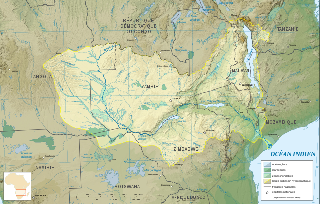
| 02:30 31 xnt 2007 |  | 2931 × 1873 (2,28 MB) | Sting | {{Information |Description=Map in French of the Zambezi river hydrographic basin, Africa |Source=Own work ;<br/>Topographic background map : [http://www2.jpl.nasa.gov/srtm NASA Shuttle Radar Topography Mission] (SRTM30 v.2) (public domain) edited with [ht |
Usu del ficheru
Nun hai páxines qu'usen esti ficheru.
Usu global del ficheru
Estes otres wikis usen esti ficheru:
- Usu en ar.wikipedia.org
- Usu en es.wikipedia.org
- Usu en eu.wikipedia.org
- Usu en fr.wikipedia.org
- Usu en gl.wikipedia.org
- Usu en ky.wikipedia.org
- Usu en ln.wikipedia.org
- Usu en uk.wikipedia.org