
Ficheru:U.S. Census Bureau Regions.svg

Tamañu de la vista previa PNG d'esti ficheru SVG: 548 × 380 pixels. Otres resoluciones: 320 × 222 pixels | 640 × 444 pixels | 1024 × 710 pixels | 1280 × 888 pixels | 2560 × 1775 pixels.
Ficheru orixinal (ficheru SVG, 548 × 380 píxels nominales, tamañu de ficheru: 320 kB)
| Descripción |
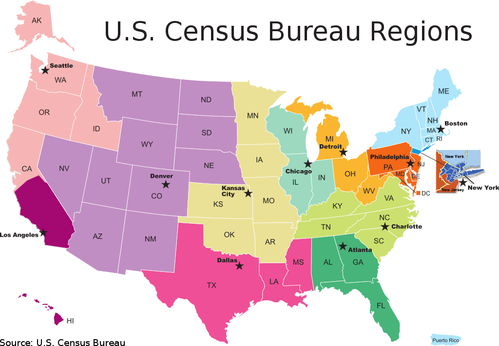
English: U.S. Census Bureau Regions, Partnership and Data Services Program. A map of the US Census Bureau Regions.
|
|||
| Data | ||||
| Fonte | Comes from 2009 - December - PDS Map #2, FLDPDS/09-2 | |||
| Autor |
U.S. Department of Commerce Economics and Statistics Administration U.S. CENSUS BUREAU |
|||
| Permisu (Cómo reutilizar esti ficheru) |
NOTA: ¡Nun use direutamente esta plantía! Ye namái una torna. |

Historial del ficheru
Calca nuna fecha/hora pa ver el ficheru como taba daquella.
| Data/Hora | Miniatura | Dimensiones | Usuariu | Comentariu | |
|---|---|---|---|---|---|
| actual | 17:51 20 xun 2010 | | 548 × 380 (320 kB) | Smallman12q | Corrected Angeles to Los Angeles, added source |
| 17:03 19 xun 2010 |  | 542 × 380 (315 kB) | Smallman12q | {{Information |Description={{en|1=U.S. Census Bureau Regions, Partnership and Data Services Program. A map of the US Census Bureau Regions.}} |Source=Comes from [http://2010.census.gov/partners/pdf/censusRegionMap.pdf 2009 - December - PDS Map #2], FLDP |
Usu del ficheru
Nun hai páxines qu'usen esti ficheru.
Usu global del ficheru
Estes otres wikis usen esti ficheru:
- Usu en en.wikipedia.org
- Usu en ja.wikipedia.org