
Ficheru:Seychelles location map.svg

Tamañu de la vista previa PNG d'esti ficheru SVG: 711 × 600 pixels. Otres resoluciones: 285 × 240 pixels | 569 × 480 pixels | 910 × 768 pixels | 1214 × 1024 pixels | 2428 × 2048 pixels | 1087 × 917 pixels.
Ficheru orixinal (ficheru SVG, 1087 × 917 píxels nominales, tamañu de ficheru: 80 kB)
Resume
| Descripción |
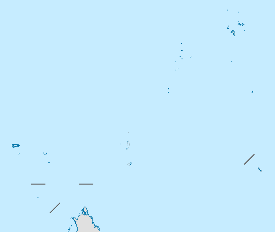
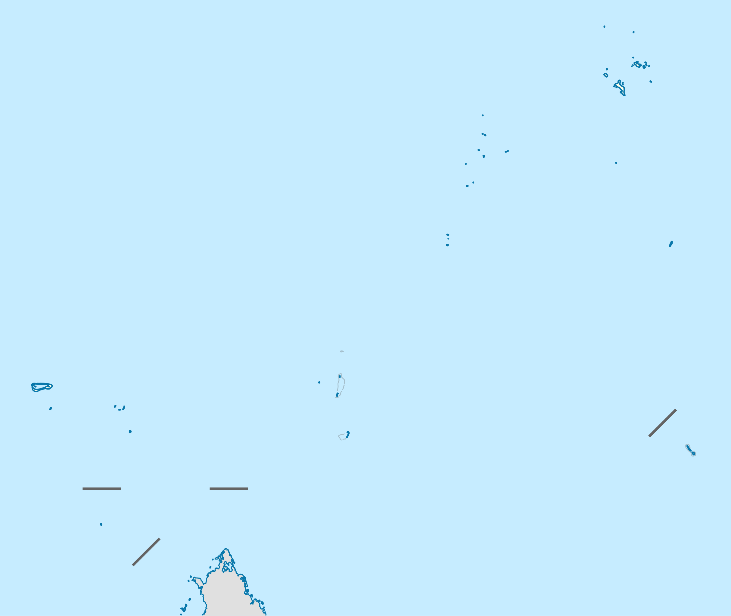
Deutsch: Positionskarte der Seychellen
Quadratische Plattkarte. Geographische Begrenzung der Karte:
English: Location map of Seychelles
Equirectangular projection. Geographic limits of the map:
|
| Data | |
| Fonte | Trabayu propiu, using United States National Imagery and Mapping Agency data |
| Autor | NordNordWest |
| Permisu (Cómo reutilizar esti ficheru) |
Yo, el titular de los drechos d'autor d'esta obra, la espublizo baxo la siguiente llicencia: Esti ficheru ta disponible baxo la llicencia Creative Commons Reconocimientu-Compartir igual 3.0 xenérica.
|

|
Este mapa se ha hecho o mejorado en el Kartenwerkstatt (taller cartográfico) alemán. También puede proponer mapas para mejorar.
|
Historial del ficheru
Calca nuna fecha/hora pa ver el ficheru como taba daquella.
| Data/Hora | Miniatura | Dimensiones | Usuariu | Comentariu | |
|---|---|---|---|---|---|
| actual | 14:55 20 och 2009 | | 1087 × 917 (80 kB) | NordNordWest | {{int:filedesc}} {{Information |Description= {{de|Positionskarte der Seychellen}} Quadratische Plattkarte. Geographische Begrenzung der Karte: * N: 3.3° S * S: 13.0° S * W: 45.7° O * O: 57.2° O {{en|Location map of [[:en:Seychelles| |
Usu del ficheru
Les páxines siguientes usen esti ficheru:
Usu global del ficheru
Estes otres wikis usen esti ficheru:
- Usu en af.wikipedia.org
- Usu en am.wikipedia.org
- Usu en an.wikipedia.org
- Usu en ar.wikipedia.org
- Usu en az.wikipedia.org
- Usu en be-tarask.wikipedia.org
- Usu en be.wikipedia.org
- Usu en bg.wikipedia.org
- Usu en bn.wikipedia.org
- Usu en bs.wikipedia.org
- Usu en ceb.wikipedia.org
- Plantilya:Location map Seychelles
- The Sisters
- Signal Hill
- Rat Island
- Pelican Island
- Long Island
- Castle Hill
- Bird Island
- North Point
- Victoria
- Recica
- Conception Island
- Whale Rocks
- Red Hill
- Bayonne (pagklaro)
- Petite Ile
- Pyramid Rock
- Bird
- Castle Peak
- Conical Hill
- Eagle Island
- Findlay
- Middle Island
- Main Channel
- South Island
- Round Island
- North Island
- North Islet
Ver más usos globales d'esti ficheru.