
Ficheru:Relief map of Canada.png

Tamañu d'esta previsualización: 706 × 599 pixels. Otres resoluciones: 283 × 240 pixels | 566 × 480 pixels | 905 × 768 pixels | 1084 × 920 pixels.
Ficheru orixinal (1084 × 920 píxels, tamañu de ficheru: 1,82 MB, triba MIME: image/png)
Resume
| Descripción |
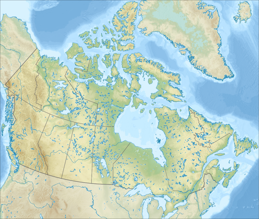
Русский: Физическая карта Канады.
English: Relief map of Canada.
|
| Data | |
| Fonte |
Este mapa fue creado con GMT. |
| Autor | Nzeemin |
| Otres versiones |
|

Llicencia
Yo, el titular de los drechos d'autor d'esta obra, la espublizo baxo la siguiente llicencia:
Esti ficheru ta disponible baxo la llicencia Creative Commons Reconocimientu-Compartir igual 3.0 xenérica.
- Ye llibre:
- pa compartir – pa copiar, distribuir y comunicar públicamente la obra
- pa remezclar – p'adautar la obra
- Baxo les condiciones siguientes:
- reconocimientu – Tienes de dar el créitu apropiáu, apurrir un enllaz a la llicencia ya indicar si realizasti dalgún cambéu. Puedes faelo de cualquier mou razonable ,pero non de manera que suxera l'encontu del autor pa ti o pal usu que faigas.
- compartir igual – Si entemeces, tresformes o te bases nesti material, tienes de distribuir les tos contribuciones baxo la mesma llicencia o una compatible cola orixinal.
Historial del ficheru
Calca nuna fecha/hora pa ver el ficheru como taba daquella.
| Data/Hora | Miniatura | Dimensiones | Usuariu | Comentariu | |
|---|---|---|---|---|---|
| actual | 18:00 28 set 2012 | | 1084 × 920 (1,82 MB) | Nzeemin | User created page with UploadWizard |
Usu del ficheru
Les páxines siguientes usen esti ficheru:
Usu global del ficheru
Estes otres wikis usen esti ficheru:
- Usu en ar.wikipedia.org
- Usu en arz.wikipedia.org
- Usu en az.wikipedia.org
- Qayalı dağlar
- Labrador dənizi
- Bofort dənizi
- Baffin Torpağı
- Annapolis QÇES
- Şablon:Yer xəritəsi Kanada
- Fandi körfəzi
- Fandi Milli Parkı
- Nahanni Milli Parkı
- Vud-Buffalo Milli Parkı
- Qros-Morn Milli Parkı
- Miquaşa Milli Parkı
- Buthia yarımadası
- Dikson-Entrans boğazı
- Hekate boğazı
- Şahzadə Şarlotta boğazı
- Hove boğazı
- Corciya boğazı
- Xuan de Fuka boğazı
- Smit boğazı
- Baffin dənizi
- Devis boğazı
- Robeson boğazı
- Kennedi boğazı
- Parri boğazı
- Danimarka boğazı
- Franklin boğazı
- Şahzadə Qustav-Adolf dənizi
- Nares boğazı
- Fari və Hekla boğazı
- Şahzadə Regent boğazı
- Hudzon boğazı
- Mak-Klintok boğazı
- Dis boğazı
- Dolfin və Yunion boğazı
- Cons boğazı
- Kabot boğazı
- Kanso boğazı
- Nortamberlend boğazı
- Simpson boğazı
- Vaykaunt-Melvill boğazı
- Uels Şahzadəsi (boğaz)
- Barrou boğazı
- Pil boğazı
- Bell-Ayl (boğaz)
Ver más usos globales d'esti ficheru.