
Ficheru:NPS american-samoa-regional-map.jpg

Tamañu d'esta previsualización: 800 × 446 pixels. Otres resoluciones: 320 × 179 pixels | 640 × 357 pixels | 925 × 516 pixels.
Ficheru orixinal (925 × 516 píxels, tamañu de ficheru: 62 kB, triba MIME: image/jpeg)
Resume
| Descripción |
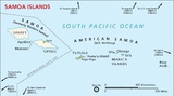
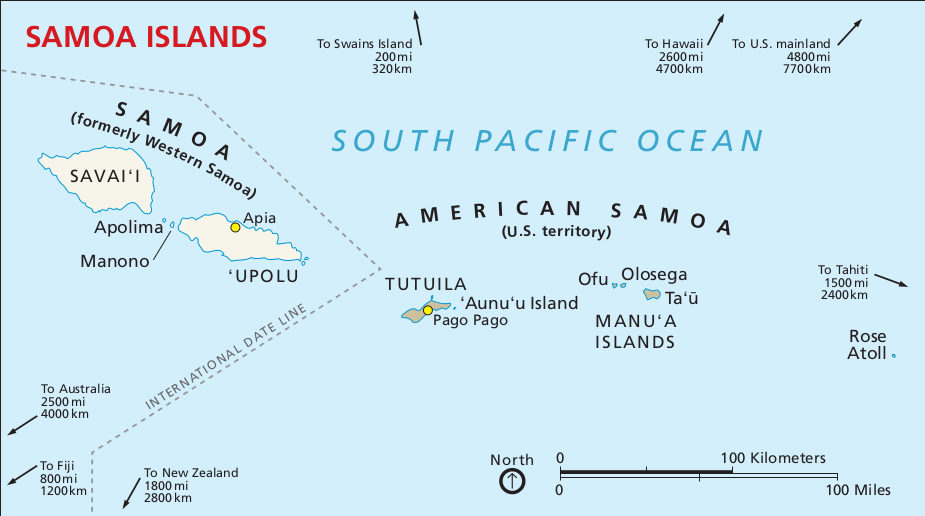
English: Regional map, showing the islands of American Samoa in relation to Western Samoa and other points of interest. |
| Data | |
| Fonte | U.S. National Park Service (http://npmaps.com/wp-content/uploads/american-samoa-regional-map.jpg) |
| Autor | U.S. National Park Service, restoration/cleanup by Matt Holly |
| Otres versiones |
 |
Llicencia
| Este archivo contiene material basado en un trabajo de algún empleado de la National Park Service (Servicio de Parques Nacionales), creado durante su prestación oficial de servicio. Por lo tanto, es un trabajo del Gobierno Federal de los Estados Unidos, revistiendo en el dominio público. Véase el sitio web de la NPS y su política de derechos de autor para más información. |
Historial del ficheru
Calca nuna fecha/hora pa ver el ficheru como taba daquella.
| Data/Hora | Miniatura | Dimensiones | Usuariu | Comentariu | |
|---|---|---|---|---|---|
| actual | 18:35 13 may 2017 | | 925 × 516 (62 kB) | RKBot | =={{int:filedesc}}== {{Information |description= {{en|1=Regional map, showing the islands of American Samoa in relation to Western Samoa and other points of interest.}} |date= 2016-02-22 |source= U.S. National Park Service (http://npmaps.com/wp-content... |
| 18:34 13 may 2017 |  | 925 × 516 (62 kB) | RKBot | =={{int:filedesc}}== {{Information |description= {{en|1=Regional map, showing the islands of American Samoa in relation to Western Samoa and other points of interest.}} |date= 2016-02-22 |source= U.S. National Park Service (http://npmaps.com/wp-content... |
Usu del ficheru
La páxina siguiente usa esti ficheru: