
Ficheru:MapNetherlandsWater.PNG

Tamañu d'esta previsualización: 450 × 599 pixels. Otres resoluciones: 180 × 240 pixels | 580 × 772 pixels.
Ficheru orixinal (580 × 772 píxels, tamañu de ficheru: 91 kB, triba MIME: image/png)
Esta imagen está en el dominio público porque proviene del sitio https://www.demis.nl/products/web-map-server/examples/ y fue publicada por el titular de los derechos de autor. derechos de autor. Se otorga permiso para copiar, distribuir y/o modificar este mapa ya que se basa en imágenes libres de derechos de autor de: www.demis.nl. Véase también el correo electrónico de aprobación en de.wp y y su aclaración.
|
| This work has been released into the public domain by its copyright holder, www.demis.nl. This applies worldwide. En dellos países seique esto nun seya posible llegalmente; nesti casu: www.demis.nl da a cualesquier persona permisu pa usar esta obra pa cualesquier propósitu, ensin denguna condición, menos si eses condiciones requierense pola llei.
|
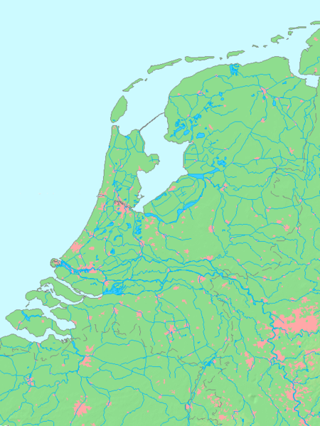
- map shows waterbodies , rivers and canals in Netherlands
derivative works
Derivative works of this file:
Historial del ficheru
Calca nuna fecha/hora pa ver el ficheru como taba daquella.
| Data/Hora | Miniatura | Dimensiones | Usuariu | Comentariu | |
|---|---|---|---|---|---|
| actual | 13:00 14 och 2015 | | 580 × 772 (91 kB) | Io Herodotus | Afsluitdijk |
| 15:12 16 och 2005 |  | 580 × 772 (77 kB) | Michiel1972 | cor. | |
| 13:35 16 och 2005 |  | 580 × 772 (77 kB) | Michiel1972 | *map shows waterbodies , rivers and canals in Netherlands *based on free-licence data/map software http://www.demis.nl/home category:Maps of the Netherlands |
Usu del ficheru
Nun hai páxines qu'usen esti ficheru.
Usu global del ficheru
Estes otres wikis usen esti ficheru:
- Usu en br.wikipedia.org
- Usu en en.wikipedia.org
- Usu en fr.wikipedia.org
- Usu en nl.wikipedia.org
- Usu en ro.wikipedia.org