
Ficheru:Lake Pontchartrain Causeway south.jpg
Tamañu d'esta previsualización: 800 × 534 pixels. Otres resoluciones: 320 × 214 pixels | 640 × 427 pixels | 1024 × 683 pixels | 1500 × 1001 pixels.
Ficheru orixinal (1500 × 1001 píxels, tamañu de ficheru: 281 kB, triba MIME: image/jpeg)
| Descripción |
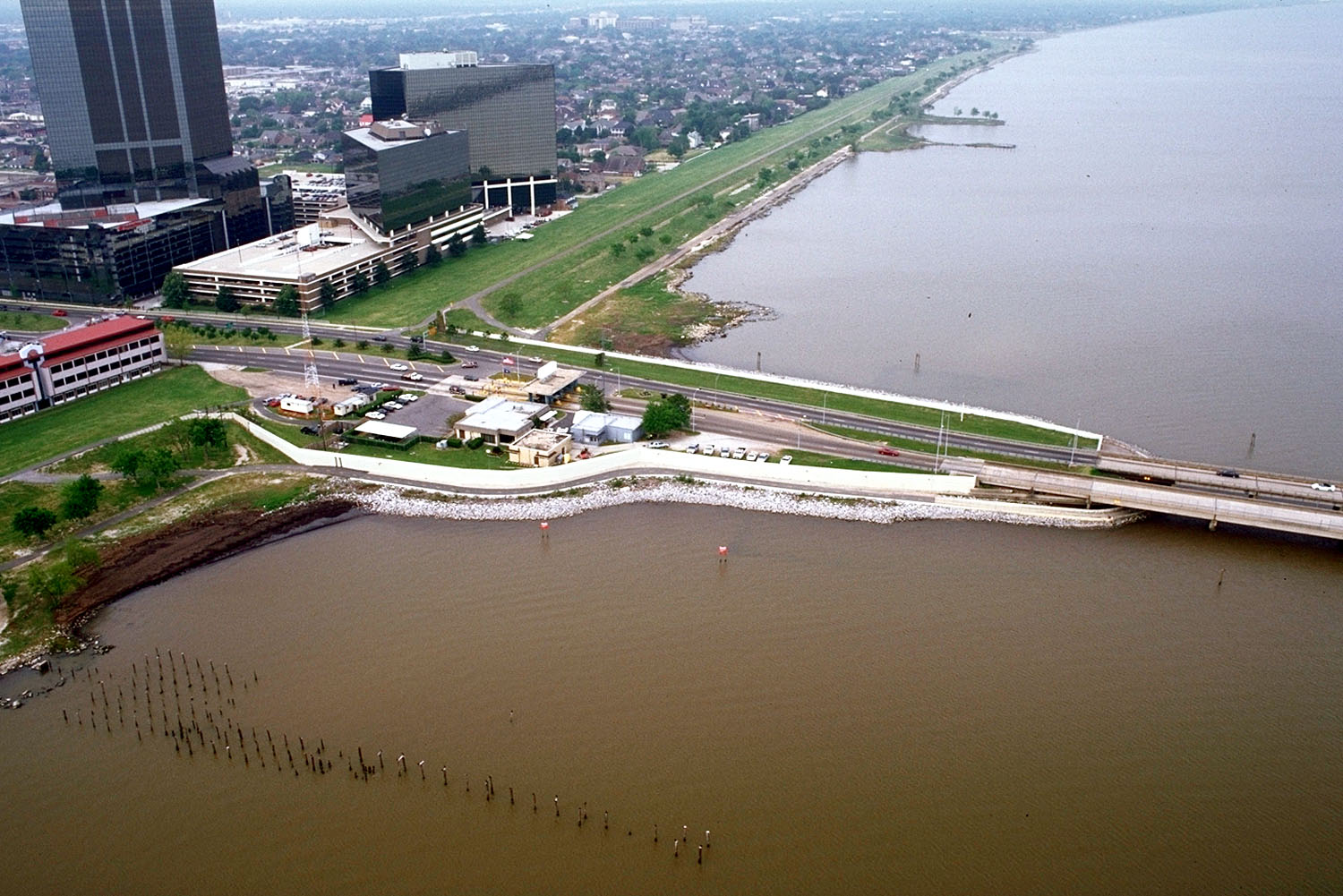
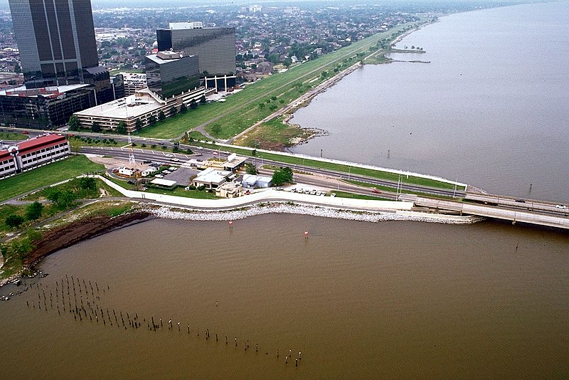
English: The southern end of the Lake Pontchartrain Causeway at Metairie, Louisiana, USA. View is to the southwest near Causeway Boulevard, Metairie. |
|||
| Data | ||||
| Fonte |
U.S. Army Corps of Engineers Digital Visual Library Image page Image description page Digital Visual Library home page |
|||
| Autor | Arthur Belala, U.S. Army Corps of Engineers | |||
| Permisu (Cómo reutilizar esti ficheru) |
|
|||
| Localización | New Orleans, Louisiana, USA |
| Posición de la cámara | | Ubicación de esta y otras imágenes en: OpenStreetMap |
|---|
Historial del ficheru
Calca nuna fecha/hora pa ver el ficheru como taba daquella.
| Data/Hora | Miniatura | Dimensiones | Usuariu | Comentariu | |
|---|---|---|---|---|---|
| actual | 16:59 1 abr 2007 | | 1500 × 1001 (281 kB) | DanMS | {{Information | Description = {{en|The southern end of the Lake Pontchartrain Causeway at New Orleans, Louisiana, USA. View is to the southwest over New Orleans.}} | Source = U.S. Army Corps of Engineers Digital Visual Library<br />[http://imag |
Usu del ficheru
Nun hai páxines qu'usen esti ficheru.
Usu global del ficheru
Estes otres wikis usen esti ficheru:
- Usu en ar.wikipedia.org
- Usu en cs.wikipedia.org
- Usu en el.wikipedia.org
- Usu en en.wikipedia.org
- Usu en es.wikipedia.org
- Usu en fa.wikipedia.org
- Usu en fi.wikipedia.org
- Usu en fr.wikipedia.org
- Usu en id.wikipedia.org
- Usu en it.wikipedia.org
- Usu en nl.wikipedia.org
- Usu en pl.wikipedia.org
- Usu en pt.wikipedia.org
- Usu en sk.wikipedia.org
- Usu en sr.wikipedia.org
- Usu en sw.wikipedia.org
- Usu en tr.wikipedia.org
- Usu en uk.wikipedia.org
- Usu en uz.wikipedia.org
- Usu en vi.wikipedia.org
- Usu en zh-yue.wikipedia.org