
Ficheru:Lánchid Budapest --CC-BY-SA-- Pont à chaines de Budapest.jpg
Tamañu d'esta previsualización: 800 × 530 pixels. Otres resoluciones: 320 × 212 pixels | 640 × 424 pixels | 1024 × 679 pixels | 1280 × 848 pixels | 3039 × 2014 pixels.
Ficheru orixinal (3039 × 2014 píxels, tamañu de ficheru: 1,28 MB, triba MIME: image/jpeg)
| Descripción |
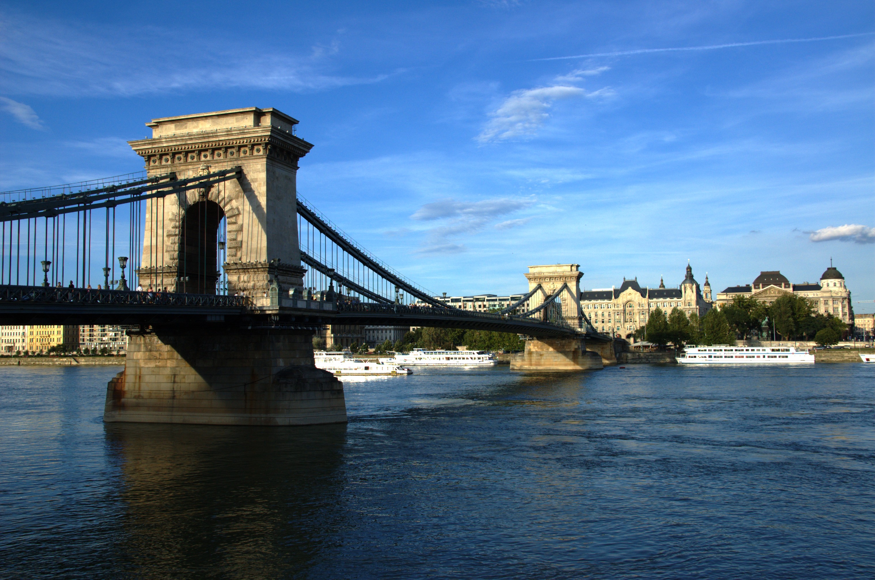
Nederlands: De bijzondere kettingbrug in de Hongaarse hoofdstad Budapest (Hongarije)
Français : "Pont à Chaines" à Budapest (Hongrie) |
||
| Data | |||
| Fonte | Trabayu propiu | ||
| Autor |
|
||
| Permisu (Cómo reutilizar esti ficheru) |
Este archivo está disponible bajo la licencia Creative Commons Attribution-Share Alike 4.0 International. Reconocimientu: Photo © François Guerraz
|
| Posición de la cámara | | Ubicación de esta y otras imágenes en: OpenStreetMap |
|---|
Historial del ficheru
Calca nuna fecha/hora pa ver el ficheru como taba daquella.
| Data/Hora | Miniatura | Dimensiones | Usuariu | Comentariu | |
|---|---|---|---|---|---|
| actual | 14:03 11 feb 2007 | | 3039 × 2014 (1,28 MB) | Fguerraz | {{Information |Description="Pont à Chaines" à Budapest (Hongrie) Photographie : GUERRAZ François (c) 2006 |Source=Originally from [http://fr.wikipedia.org fr.wikipedia]; description page is/was [http://fr.wikipedia.org/w/index.php?title=Image%3AL%C3%A1 |
Usu del ficheru
La páxina siguiente usa esti ficheru:
Usu global del ficheru
Estes otres wikis usen esti ficheru:
- Usu en ca.wikipedia.org
- Usu en da.wikipedia.org
- Usu en en.wikipedia.org
- Usu en es.wikipedia.org
- Usu en fr.wikipedia.org
- Usu en hu.wikipedia.org
- Usu en www.wikidata.org