
Ficheru:Indian Ocean laea location map.svg

Tamañu de la vista previa PNG d'esti ficheru SVG: 638 × 599 pixels. Otres resoluciones: 256 × 240 pixels | 511 × 480 pixels | 818 × 768 pixels | 1090 × 1024 pixels | 2180 × 2048 pixels | 709 × 666 pixels.
Ficheru orixinal (ficheru SVG, 709 × 666 píxels nominales, tamañu de ficheru: 168 kB)
Resume
| Descripción |
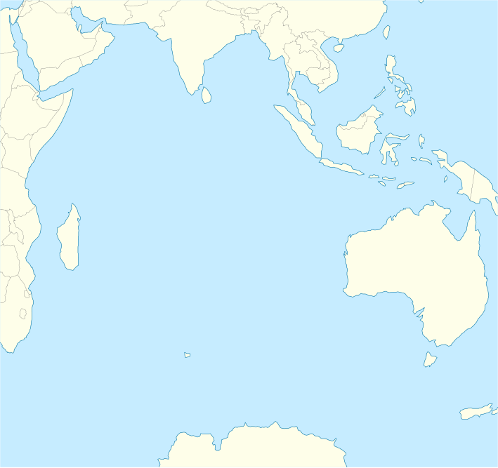
English: Location map of the Indian Ocean.
|
| Data | |
| Fonte | Trabayu propiu |
| Autor | Tentotwo |
Shell script for generating the map using GMT archive copy at the Wayback Machine
#!/bin/sh

# Set common options
PROJECTION=A90.0/-20.0/180/19.998266666666666c
REGION=-12.856058461183775/-43.848273739920856/151.50519408595028/33.22162400070504r
FILENAME=Indian_Ocean_laea_location_map.ps

# Get Natural Earth datafiles
echo "Downloading datafiles from naturalearthdata.com"
wget -nv -nc \
 http://www.naturalearthdata.com/http//www.naturalearthdata.com/download/110m/physical/110m-coastline.zip\
 http://www.naturalearthdata.com/http//www.naturalearthdata.com/download/110m/physical/110m-land.zip\
 http://www.naturalearthdata.com/http//www.naturalearthdata.com/download/110m/cultural/110m-admin-0-boundary-lines.zip
echo "...done\n"

echo "Inflating archives"
unzip 110m\*.zip
echo "...done\n"

echo "Converting shapefiles to GMT"
ogr2ogr -F GMT 110m_land.gmt 110m_land.shp
ogr2ogr -F GMT 110m_coastline.gmt 110m_coastline.shp
ogr2ogr -F GMT 50m_borders.gmt ne_50m_admin_0_boundary_lines_land.shp
echo "...done\n"

echo "Creating maps"
GMT psxy -m -J$PROJECTION -R$REGION --PAGE_COLOR=198/236/255  --POLAR_CAP=none --PAPER_MEDIA=A3  --BASEMAP_TYPE=plain --BASEMAP_AXES=NESW --FRAME_PEN=0.15p,black 110m_land.gmt -K -G254/254/233 > $FILENAME
GMT psxy -m -J$PROJECTION -R$REGION 110m_coastline.gmt -O -K -W0.535p,9/120/171  >> $FILENAME
GMT psxy -m -J$PROJECTION -R$REGION 50m_borders.gmt -O -W100/100/100  >> $FILENAME
echo "...done\n"

echo "You can now open $FILENAME in Inkscape to clean up the file and save it as SVG. You should add an ocean coloured background and simplify the graticules using CTRL+L."

gv $FILENAME
Llicencia
Yo, el titular de los drechos d'autor d'esta obra, la espublizo baxo la siguiente llicencia:
Esti ficheru ta disponible baxo la llicencia Creative Commons Reconocimientu-Compartir igual 3.0 xenérica.
- Ye llibre:
- pa compartir – pa copiar, distribuir y comunicar públicamente la obra
- pa remezclar – p'adautar la obra
- Baxo les condiciones siguientes:
- reconocimientu – Tienes de dar el créitu apropiáu, apurrir un enllaz a la llicencia ya indicar si realizasti dalgún cambéu. Puedes faelo de cualquier mou razonable ,pero non de manera que suxera l'encontu del autor pa ti o pal usu que faigas.
- compartir igual – Si entemeces, tresformes o te bases nesti material, tienes de distribuir les tos contribuciones baxo la mesma llicencia o una compatible cola orixinal.
Historial del ficheru
Calca nuna fecha/hora pa ver el ficheru como taba daquella.
| Data/Hora | Miniatura | Dimensiones | Usuariu | Comentariu | |
|---|---|---|---|---|---|
| actual | 10:02 1 feb 2012 | | 709 × 666 (168 kB) | Tentotwo |
Usu del ficheru
Les páxines siguientes usen esti ficheru:
- Aeropuertu Sir Gaëtan Duval
- Aeropuertu d'Islla Christmas
- Aeropuertu de les Islles Cocos (Keeling)
- Archipiélagu de Chagos
- Bassas da India
- Flying Fish Cove
- Islla Christmas
- Islla Marión
- Islla Oeste
- Islla Saint-Paul
- Islla Yeye
- Islla de la Posesión
- Islla Ámsterdam
- Islles Agalega
- Islles Crozet
- Islles Esvalixaes del Océanu Índicu
- Islles Glorioses
- Islles Mascareñes
- Islles Ḥeard y McDonald
- Mar de les Laquedives
- San Denís (Reunión)
- Módulu:Mapa de llocalización/datos/Océanu Índicu
- Módulu:Mapa de llocalización/datos/Océanu Índicu/usu
Usu global del ficheru
Estes otres wikis usen esti ficheru:
- Usu en af.wikipedia.org
- Usu en als.wikipedia.org
- Usu en an.wikipedia.org
- Usu en ar.wikipedia.org
- Usu en az.wikipedia.org
- Usu en ban.wikipedia.org
- Usu en ba.wikipedia.org
- Usu en bg.wikipedia.org
- Usu en bh.wikipedia.org
- Usu en ceb.wikipedia.org
- Plantilya:Location map Indian Ocean
- South Point
- Sandy Island
- Saint Paul
- Saddle Hill
- Table Mountain
- Long Island
- Henry Island
- Green Island
- North Point
- West Point
- Cat Island
- East Point
- Long Point
- Bird Rock
- Sugar Loaf
- Round Rock
- Elizabeth Island
- Hog Island
- Southeast Point
- Harbour Island
- Bluff Point
- Seal Islands
- Kongo
- Turtle Bay
- Penguin Island
- Petite Ile
- Posadowsky Glacier
Ver más usos globales d'esti ficheru.