
Ficheru:Greater Manchester UK district map (blank).svg

Tamañu de la vista previa PNG d'esti ficheru SVG: 800 × 557 pixels. Otres resoluciones: 320 × 223 pixels | 640 × 446 pixels | 1024 × 714 pixels | 1280 × 892 pixels | 2560 × 1784 pixels | 1425 × 993 pixels.
Ficheru orixinal (ficheru SVG, 1425 × 993 píxels nominales, tamañu de ficheru: 860 kB)
.svg)
| Descripción |
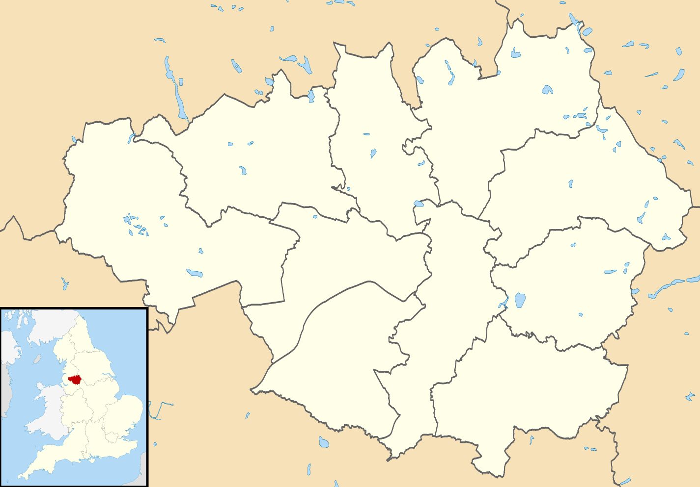
Map of Greater Manchester, UK with districts shown. Equirectangular map projection on WGS 84 datum, with N/S stretched 165% Geographic limits:
|
| Data | |
| Fonte | Ordnance Survey OpenData. Most data from Boundary-Line product. Lake data from Meridian 2 product. Inset derived from England location map.svg by Spischot. |
| Autor | Nilfanion, created using Ordnance Survey data |
| Permisu (Cómo reutilizar esti ficheru) |
Esti ficheru ta disponible baxo la llicencia Creative Commons Reconocimientu-Compartir igual 3.0 xenérica. Reconocimientu: Contains Ordnance Survey data © Crown copyright and database right
|
Historial del ficheru
Calca nuna fecha/hora pa ver el ficheru como taba daquella.
| Data/Hora | Miniatura | Dimensiones | Usuariu | Comentariu | |
|---|---|---|---|---|---|
| actual | 08:09 22 ago 2010 | | 1425 × 993 (860 kB) | Nilfanion | +inset, water colour tweak |
| 23:36 16 xnt 2010 |  | 1425 × 993 (508 kB) | Nilfanion | {{Information |Description=Map of Greater Manchester, UK with districts shown. Equirectangular map projection on WGS 84 datum, with N/S stretched 165% Geographic limits: *West: 2.80W *East: 1.90W *North: 53.70N *South: 53.32N |S |
Usu del ficheru
La páxina siguiente usa esti ficheru:
Usu global del ficheru
Estes otres wikis usen esti ficheru:
- Usu en ca.wikipedia.org
- Usu en de.wikipedia.org
- Old Trafford
- Manchester Airport
- Etihad Stadium (Manchester)
- Maine Road
- Gigg Lane
- Edgeley Park
- Toughsheet Community Stadium
- DW Stadium
- Burnden Park
- Fallowfield Stadium
- Manchester Arena
- Spotland Stadium
- Old Trafford Cricket Ground
- Boundary Park
- Vorlage:Positionskarte England Greater Manchester
- Flugplatz Woodford
- Diggle Moss
- Salford Community Stadium
- Broadhurst Park
- O2 Apollo Manchester
- Worthington Lakes
- Belle Vue Zoological Gardens
- Benutzer:Kai Vettermann/Astronomie
- Adam Viaduct
- Manchester City Academy Stadium
- Leigh Sports Village
- Co-op Live
- Usu en en.wikipedia.org
- Usu en es.wikipedia.org
.svg)