
Ficheru:France base map 18 regions.png

Tamañu d'esta previsualización: 648 × 599 pixels. Otres resoluciones: 260 × 240 pixels | 519 × 480 pixels | 831 × 768 pixels | 1108 × 1024 pixels | 2215 × 2048 pixels.
Ficheru orixinal (2215 × 2048 píxels, tamañu de ficheru: 482 kB, triba MIME: image/png)
Resume
| Descripción |
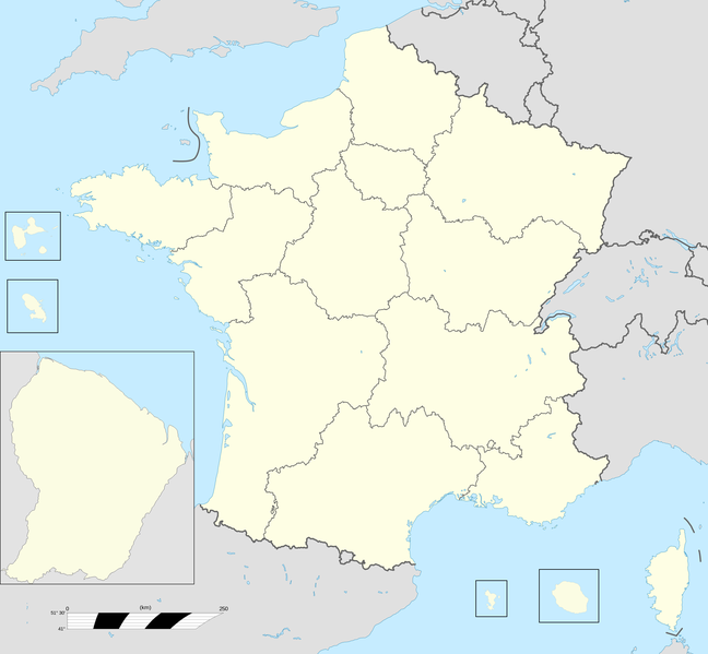
English: Base map of France with 18 regions. |
||
| Data | |||
| Fonte |
Trabayu propiu; Este archivo deriva de: France fond de carte 27 régions.png |
||
| Autor | User:Chessrat, User:Rosss, User:Sting | ||
| Otres versiones |
|

Llicencia
Chessrat de Wikipedia en inglés, titular de los drechos d'autor d'esta obra, la espubliza baxo la siguiente llicencia:
Esti ficheru ta disponible baxo la llicencia Creative Commons Reconocimientu-Compartir igual 3.0 xenérica.
Reconocimientu: Chessrat de Wikipedia en inglés
- Ye llibre:
- pa compartir – pa copiar, distribuir y comunicar públicamente la obra
- pa remezclar – p'adautar la obra
- Baxo les condiciones siguientes:
- reconocimientu – Tienes de dar el créitu apropiáu, apurrir un enllaz a la llicencia ya indicar si realizasti dalgún cambéu. Puedes faelo de cualquier mou razonable ,pero non de manera que suxera l'encontu del autor pa ti o pal usu que faigas.
- compartir igual – Si entemeces, tresformes o te bases nesti material, tienes de distribuir les tos contribuciones baxo la mesma llicencia o una compatible cola orixinal.
Rexistru de xubíes orixinal
The original description page was here. All following user names refer to en.wikipedia.
| Data/Hora | Dimensiones | Usuariu | Comentariu |
|---|---|---|---|
| 2015-12-28 12:54 | 2215×2048× (493061 bytes) | Chessrat | Base map of France with 18 regions. Modified from [[File:France fond de carte 27 régions.png]] by [[User:Rosss]]. |
Historial del ficheru
Calca nuna fecha/hora pa ver el ficheru como taba daquella.
| Data/Hora | Miniatura | Dimensiones | Usuariu | Comentariu | |
|---|---|---|---|---|---|
| actual | 16:22 10 xnt 2016 | | 2215 × 2048 (482 kB) | Kudelski | Transferred from en.wikipedia |
Usu del ficheru
Les páxines siguientes usen esti ficheru:
Usu global del ficheru
Estes otres wikis usen esti ficheru:
- Usu en ar.wikipedia.org
- Usu en azb.wikipedia.org
- Usu en bn.wikipedia.org
- Usu en ca.wikipedia.org
- Usu en en.wikipedia.org
- Regions of France
- Administrative divisions of France
- Ranked list of French regions
- France
- Template:France Regions Labelled Map
- Football rivalries in France
- Politics of country subdivisions
- Outline of France
- Talk:France/Archive 5
- User:Liam987/sandbox
- List of French regions and overseas collectivities by GDP
- Talk:France/Archive 7
- Usu en en.wikibooks.org
- Usu en es.wikipedia.org
Ver más usos globales d'esti ficheru.