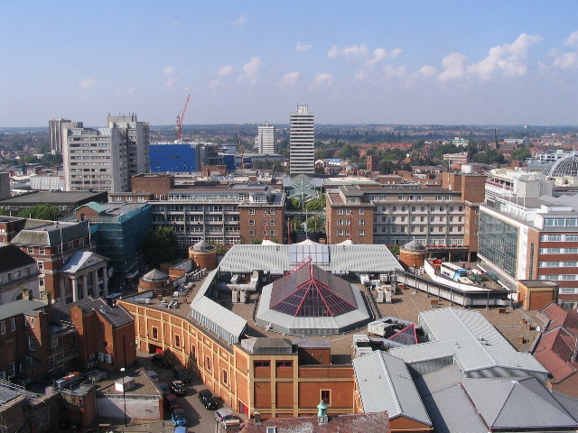
Ficheru:Broadgate and Precincts - geograph.org.uk - 554599.jpg
Broadgate_and_Precincts_-_geograph.org.uk_-_554599.jpg (640 × 480 píxels, tamañu de ficheru: 96 kB, triba MIME: image/jpeg)
Historial del ficheru
Calca nuna fecha/hora pa ver el ficheru como taba daquella.
| Data/Hora | Miniatura | Dimensiones | Usuariu | Comentariu | |
|---|---|---|---|---|---|
| actual | 02:26 6 feb 2011 |  | 640 × 480 (96 kB) | GeographBot | == {{int:filedesc}} == {{Information |description={{en|1=Broadgate and Precincts Taken from the tower of the old cathedral church of St. Michael, looking westwards down the line of the Upper and Lower Precinct shopping areas towards Mercia House[1], the t |
Usu del ficheru
La páxina siguiente usa esti ficheru:
Usu global del ficheru
Estes otres wikis usen esti ficheru:
- Usu en af.wikipedia.org
- Usu en an.wikipedia.org
- Usu en ar.wikipedia.org
- Usu en arz.wikipedia.org
- Usu en azb.wikipedia.org
- Usu en az.wikipedia.org
- Usu en be-tarask.wikipedia.org
- Usu en be.wikipedia.org
- Usu en ca.wikipedia.org
- Usu en ceb.wikipedia.org
- Usu en cs.wikipedia.org
- Usu en cy.wikipedia.org
- Usu en da.wikipedia.org
- Usu en de.wikipedia.org
- Usu en de.wikivoyage.org
- Usu en diq.wikipedia.org
- Usu en el.wikipedia.org
- Usu en en.wikipedia.org
- Usu en en.wikivoyage.org
- Usu en eo.wikipedia.org
- Usu en es.wikipedia.org
- Usu en eu.wikipedia.org
- Usu en frr.wikipedia.org
- Usu en fr.wikipedia.org
- Usu en fr.wikivoyage.org
- Usu en fy.wikipedia.org
- Usu en ga.wikipedia.org
- Usu en gl.wikipedia.org
- Usu en he.wikivoyage.org
- Usu en hy.wikipedia.org
- Usu en ku.wikipedia.org
- Usu en lld.wikipedia.org
- Usu en lv.wikipedia.org
- Usu en mdf.wikipedia.org
- Usu en mzn.wikipedia.org
- Usu en nn.wikipedia.org
- Usu en no.wikipedia.org
- Usu en os.wikipedia.org
- Usu en pl.wikipedia.org
- Usu en pl.wikivoyage.org
- Usu en pnb.wikipedia.org
- Usu en ro.wikipedia.org
- Usu en ru.wikinews.org
- Usu en sco.wikipedia.org
Ver más usos globales d'esti ficheru.


