
Ficheru:Bingöl districts.png

Tamañu d'esta previsualización: 776 × 600 pixels. Otres resoluciones: 311 × 240 pixels | 621 × 480 pixels | 994 × 768 pixels | 1056 × 816 pixels.
Ficheru orixinal (1056 × 816 píxels, tamañu de ficheru: 24 kB, triba MIME: image/png)
Resume
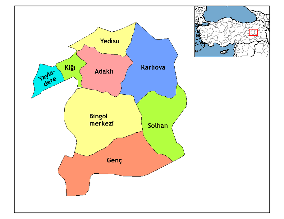
| Descripción | Map of the districts of Bingöl province in Turkey. Created by Rarelibra 18:56, 1 December 2006 (UTC) for public domain use, using MapInfo Professional v8.5 and various mapping resources. Edited by One Homo Sapiens Corrected text where İ,Ş,ı,ğ,or ş occurs in name. Source: [statoids-com]. Increased font size and enhanced color differences among adjacent districts. |
| Data | 31 de marzu de 2007 (fecha original de carga) |
| Fonte | No machine-readable source provided. Own work assumed (based on copyright claims). |
| Autor | No machine-readable author provided. Denizz~commonswiki assumed (based on copyright claims). |
Llicencia
| Yo, el titular de los drechos d'autor d'esta obra, la llibero como dominiu públicu. Esto s'aplica nel mundu ensembre. En dellos países seique esto nun seya posible llegalmente; nesti casu: Doi a cualesquier persona permisu pa usar esta obra pa cualesquier propósitu, ensin denguna condición, menos si eses condiciones requierense pola llei. |
Historial del ficheru
Calca nuna fecha/hora pa ver el ficheru como taba daquella.
| Data/Hora | Miniatura | Dimensiones | Usuariu | Comentariu | |
|---|---|---|---|---|---|
| actual | 21:10 28 avi 2008 | | 1056 × 816 (24 kB) | One Homo Sapiens | Corrected text where İ,Ş,ı,ğ,or ş occurs in name. Source: [statoids-com]. Increased font size and enhanced color differences among adjacent districts. |
| 06:50 31 mar 2007 |  | 1056 × 816 (25 kB) | Denizz~commonswiki | == Summary == Map of the districts of Bingol province in Turkey. Created by Rarelibra 18:56, 1 December 2006 (UTC) for public domain use, using MapInfo Professional v8.5 and various mapping resources. == Licensing == {{PD-self}} <!-- |
Usu del ficheru
La páxina siguiente usa esti ficheru:
Usu global del ficheru
Estes otres wikis usen esti ficheru:
- Usu en ca.wikipedia.org
- Usu en cs.wikipedia.org
- Usu en de.wikipedia.org
- Yayladere
- Kiğı
- Yedisu
- Vorlage:Navigationsleiste Landkreise der Provinz Bingöl
- Adaklı
- Bingöl
- Genç (Bingöl)
- Karlıova
- Solhan (Türkei)
- Çatalkaya
- Dallıca
- Eskikavak
- Güneyağıl
- Kutluca
- Demirdöş
- Yorgançayır
- Yazgünü
- Açıkgüney
- Ağaçöven
- Alınyazı
- Aşağıserinyer
- Aşağıyağmurlu
- Aydınlar (Yayladere)
- Batıayaz
- Çalıkağıl
- Çayağzı
- Dalbasan
- Doğucak
- Gökçedal
- Günlük
- Haktanır
- Kalkanlı
- Kırköy
- Korlu
- Vorlage:Navigationsleiste Ortschaften im Landkreis Yayladere
- Sarıtosun
- Sürmelikoç (Yayladere)
- Yavuztaş
- Yaylabağ
- Zeynelli
- Vorlage:Navigationsleiste Ortschaften im Landkreis Kiğı
- Baklalı
- Bilekkaya
- Güneşlik
- Çiçektepe
- Darköprü
- Demirkanat
- Duranlar
Ver más usos globales d'esti ficheru.