
Ficheru:Azerbaijan relief location map.jpg
Tamañu d'esta previsualización: 783 × 600 pixels. Otres resoluciones: 314 × 240 pixels | 627 × 480 pixels | 1003 × 768 pixels | 1200 × 919 pixels.
Ficheru orixinal (1200 × 919 píxels, tamañu de ficheru: 698 kB, triba MIME: image/jpeg)
Resume
| Descripción |
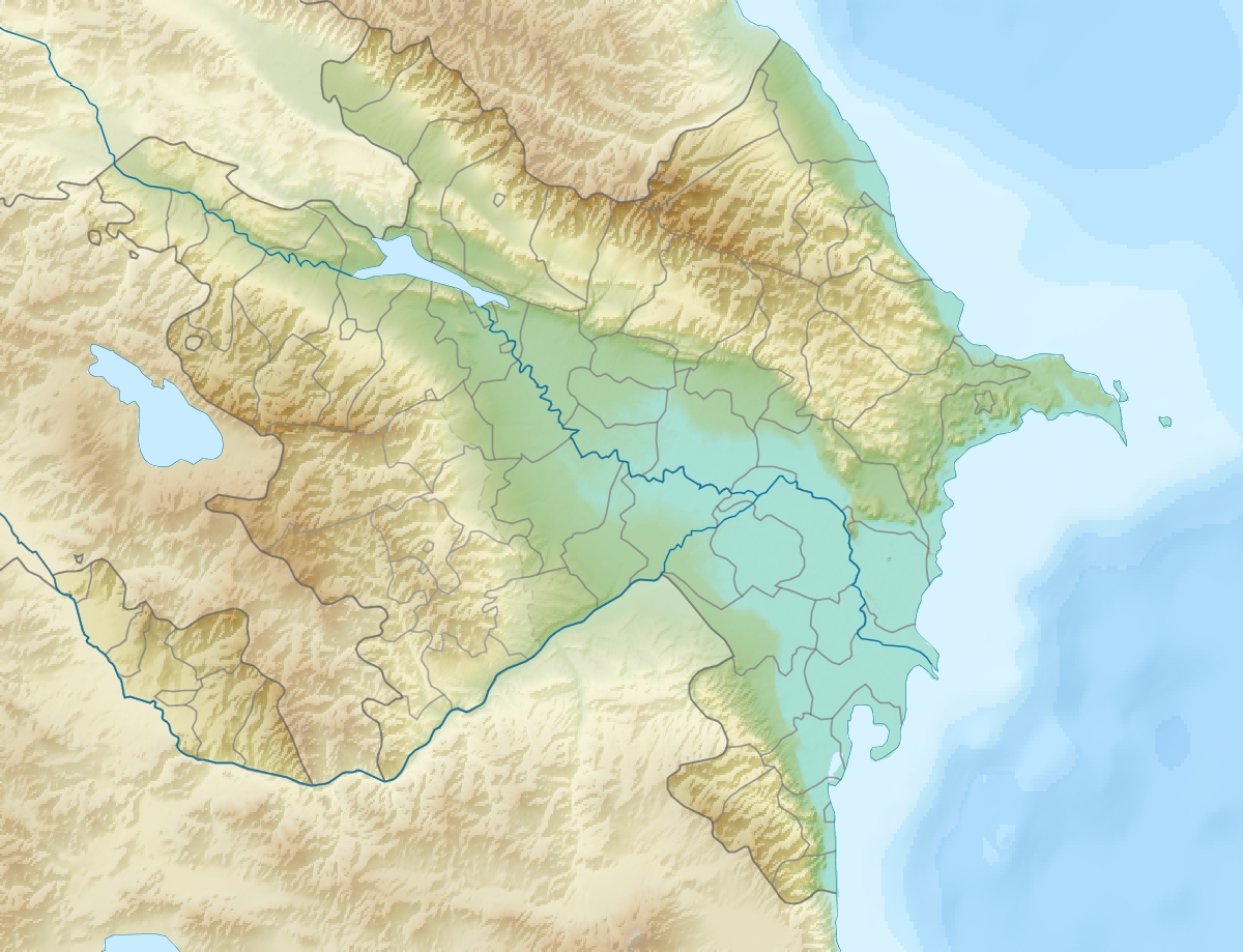
English: Location map of Azerbaijan.
Equirectangular projection. Strechted by 131.0%. Geographic limits of the map: * N: 42.0° N * S: 38.2° N * W: 44.5° E * E: 51.0° EMade with Natural Earth. Free vector and raster map data @ naturalearthdata.com. |
| Data | |
| Fonte | Trabayu propiu |
| Autor | Uwe Dedering |
| Otres versiones |
|


Llicencia
Yo, el titular de los drechos d'autor d'esta obra, la espublizo baxo les siguientes llicencies:
Esti ficheru ta disponible baxo la llicencia Creative Commons Reconocimientu-Compartir igual 3.0 xenérica.
- Ye llibre:
- pa compartir – pa copiar, distribuir y comunicar públicamente la obra
- pa remezclar – p'adautar la obra
- Baxo les condiciones siguientes:
- reconocimientu – Tienes de dar el créitu apropiáu, apurrir un enllaz a la llicencia ya indicar si realizasti dalgún cambéu. Puedes faelo de cualquier mou razonable ,pero non de manera que suxera l'encontu del autor pa ti o pal usu que faigas.
- compartir igual – Si entemeces, tresformes o te bases nesti material, tienes de distribuir les tos contribuciones baxo la mesma llicencia o una compatible cola orixinal.

|
Autorízase la copia, distribución y/o cambéu d'esti documentu baxo los términos de la Llicencia de documentación llibre GNU, versión 1.2 o cualesquier otra que nel futuru espublice la Free Software Foundation; ensin seiciones invariables, testos de portada, nin testos de contraportada. S'inclúi una copia de la llicencia na seición titulada GNU Free Documentation License. |
Pues seleicionar la llicencia que prefieras.
Historial del ficheru
Calca nuna fecha/hora pa ver el ficheru como taba daquella.
| Data/Hora | Miniatura | Dimensiones | Usuariu | Comentariu | |
|---|---|---|---|---|---|
| actual | 19:12 9 xun 2010 | | 1200 × 919 (698 kB) | Uwe Dedering | one more (ex-?)exklave |
| 18:48 9 xun 2010 |  | 1200 × 919 (698 kB) | Uwe Dedering | {{Information |Description={{en|1=Location map of Azerbaijan. Equirectangular projection. Strechted by 131.0%. Geographic limits of the map: * N: 42.0° N * S: 38.2° N * W: 44.5° E * E: 51.0° E Made with Natural Earth. Free vector and raster map |
Usu del ficheru
Les páxines siguientes usen esti ficheru:
Usu global del ficheru
Estes otres wikis usen esti ficheru:
- Usu en ab.wikipedia.org
- Usu en ar.wikipedia.org
- Usu en av.wikipedia.org
- Usu en azb.wikipedia.org
- Usu en az.wikipedia.org
- Çigil
- Kiçik Zirə
- Daş Zirə
- Zənbil
- Azərbaycan coğrafiyası
- Daşlı ada
- Səngi Muğan
- Gil adası
- Xərə Zirə
- Çilov adası
- Pirallahı adası
- Adsız adası
- Tava adası
- Karvansaray adası
- Qutan adası
- Xanlar adası
- Qu adası
- Kür dili adası
- Qoltuq körfəzi
- Azərbaycan relyefi
- Kiçik Tava
- Böyük Tava
- Tavaaltı
- Yal adası
- Qarabatdaq adası
- Çurki adası
- Orta daş adası
- Daxili daş adası
- Yaşma adası
- Usu en be-tarask.wikipedia.org
- Usu en be.wikipedia.org
- Usu en bn.wikipedia.org
- Usu en bs.wikipedia.org
- Usu en ca.wikipedia.org
Ver más usos globales d'esti ficheru.