
Ficheru:Australia Tasmania location map blank.svg

Ficheru orixinal (ficheru SVG, 780 × 957 píxels nominales, tamañu de ficheru: 190 kB)
| Descripción |
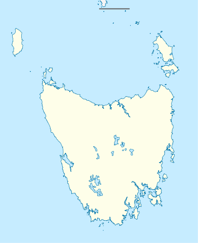
Quadratische Plattkarte, N-S-Streckung 135 %. Geographische Begrenzung der Karte:
Equirectangular projection, N/S stretching 135 %. Geographic limits of the map:
|
|
| Data | (UTC) | |
| Fonte |
|
|
| Autor |
|
|
| Permisu (Cómo reutilizar esti ficheru) |
Este archivo se encuentra bajo la licencia Creative Commons Reconocimiento-Compartir bajo la misma licencia 3.0 Alemania.
 |


|
Este mapa se ha hecho o mejorado en el Kartenwerkstatt (taller cartográfico) alemán. También puede proponer mapas para mejorar.
|
- Ye llibre:
- pa compartir – pa copiar, distribuir y comunicar públicamente la obra
- pa remezclar – p'adautar la obra
- Baxo les condiciones siguientes:
- reconocimientu – Tienes de dar el créitu apropiáu, apurrir un enllaz a la llicencia ya indicar si realizasti dalgún cambéu. Puedes faelo de cualquier mou razonable ,pero non de manera que suxera l'encontu del autor pa ti o pal usu que faigas.
- compartir igual – Si entemeces, tresformes o te bases nesti material, tienes de distribuir les tos contribuciones baxo la mesma llicencia o una compatible cola orixinal.
Rexistru de xubíes orixinal
This image is a derivative work of the following images:
- File:Australia_Tasmania_location_map.svg licensed with Cc-by-sa-3.0
- 2010-04-04T22:08:26Z Chumwa 780x957 (249349 Bytes) Reverted to version as of 16:36, 29 December 2009
- 2010-04-04T21:52:15Z Roke 780x957 (194945 Bytes) local government low salience, dont appear on general use maps
- 2009-12-29T16:36:59Z NordNordWest 780x957 (249349 Bytes)
- 2009-12-29T16:23:47Z NordNordWest 780x957 (249349 Bytes) =={{int:filedesc}}== {{Information |Description= {{de|Positionskarte von [[:de:Tasmanien|Tasmanien]], [[:de:Australien|Australien]]}} Quadratische Plattkarte, N-S-Streckung 135 %. Geographische Begrenzung der Karte: * N: 39.0
Uploaded with derivativeFX
Historial del ficheru
Calca nuna fecha/hora pa ver el ficheru como taba daquella.
| Data/Hora | Miniatura | Dimensiones | Usuariu | Comentariu | |
|---|---|---|---|---|---|
| actual | 01:24 10 abr 2010 | | 780 × 957 (190 kB) | Roke~commonswiki | {{Information |Description={{de|Positionskarte von Tasmanien, Australien}} Quadratische Plattkarte, N-S-Streckung 135 %. Geographische Begrenzung der Karte: * N: 39.0° S * S: 44.0° S * W: 143.5° O * O: 149.0° O {{e |
Usu del ficheru
Les páxines siguientes usen esti ficheru:
Usu global del ficheru
Estes otres wikis usen esti ficheru:
- Usu en ar.wikipedia.org
- Usu en azb.wikipedia.org
- Usu en ceb.wikipedia.org
- Usu en ckb.wikipedia.org
- Usu en da.wikipedia.org
- Usu en de.wikipedia.org
- Usu en en.wikipedia.org
- Usu en es.wikipedia.org
- Usu en fa.wikipedia.org
- Usu en gl.wikipedia.org
- Usu en id.wikipedia.org
- Usu en ja.wikipedia.org
- Usu en ka.wikipedia.org
- Usu en kn.wikipedia.org
- Usu en mk.wikipedia.org
- Usu en no.wikipedia.org
- Usu en pl.wikipedia.org
- Usu en pl.wikibooks.org
- Usu en pnb.wikipedia.org
- Usu en sco.wikipedia.org
- Usu en shn.wikipedia.org
- Usu en simple.wikipedia.org
- Usu en si.wikipedia.org
- Usu en sl.wikipedia.org
- Usu en tr.wikipedia.org
- Usu en ur.wikipedia.org
- Usu en uz.wikipedia.org
Ver más usos globales d'esti ficheru.