
Ficheru:Australia New South Wales location map.svg

Ficheru orixinal (ficheru SVG, 1885 × 1670 píxels nominales, tamañu de ficheru: 569 kB)
Resume
| Descripción |
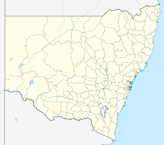
Quadratische Plattkarte, N-S-Streckung 119 %. Geographische Begrenzung der Karte:
Equirectangular projection, N/S stretching 119 %. Geographic limits of the map:
|
|
| Data | ||
| Fonte |
Trabayu propiu, using |
|
| Autor | NordNordWest | |
| Permisu (Cómo reutilizar esti ficheru) |
Este archivo se encuentra bajo la licencia Creative Commons Reconocimiento-Compartir bajo la misma licencia 3.0 Alemania.
 Este archivo se encuentra bajo la licencia Creative Commons Reconocimiento-Compartir bajo la misma licencia 3.0 Alemania.
|
|
| Otres versiones | Derivative works of this file: Australia New South Wales with LGA names.svg |


|
Este mapa se ha hecho o mejorado en el Kartenwerkstatt (taller cartográfico) alemán. También puede proponer mapas para mejorar.
|
Historial del ficheru
Calca nuna fecha/hora pa ver el ficheru como taba daquella.
| Data/Hora | Miniatura | Dimensiones | Usuariu | Comentariu | |
|---|---|---|---|---|---|
| actual | 22:05 4 abr 2010 | | 1885 × 1670 (569 kB) | Chumwa | Reverted to version as of 21:16, 3 February 2010 |
| 19:52 4 abr 2010 |  | 1885 × 1670 (351 kB) | Roke~commonswiki | local government low saliance, dont appear on general use maps | |
| 21:16 3 feb 2010 |  | 1885 × 1670 (569 kB) | NordNordWest | + | |
| 20:48 28 xin 2010 |  | 1885 × 1670 (351 kB) | NordNordWest | ={{int:filedesc}}== {{Information |Description= {{de|Positionskarte von New South Wales, Australien}} Quadratische Plattkarte, N-S-Streckung 119 %. Geographische Begrenzung der Karte: * N: 27.9° S * S: 37.8° S |
Usu del ficheru
Les páxines siguientes usen esti ficheru:
Usu global del ficheru
Estes otres wikis usen esti ficheru:
- Usu en af.wikipedia.org
- Usu en als.wikipedia.org
- Usu en ar.wikipedia.org
- Usu en ba.wikipedia.org
- Usu en be.wikipedia.org
- Usu en bg.wikipedia.org
- Usu en bn.wikipedia.org
- Usu en ceb.wikipedia.org
- Usu en cs.wikipedia.org
- Usu en de.wikipedia.org
- Sydney
- Thredbo
- Port Macquarie
- Byron Bay
- Newcastle (New South Wales)
- Kingsford Smith International Airport
- Orange (New South Wales)
- Botany Bay
- Namadgi-Nationalpark
- Booderee-Nationalpark
- Wollongong
- Belmont (New South Wales)
- Cape Byron
- Yass
- Nimbin
- Cowra
- Walgett
- Katoomba
- Coffs Harbour
- Tamworth (Australien)
- Deniliquin
- Port Stephens
- Bega (Australien)
- Broken Hill
- Silverton (New South Wales)
- Wagga Wagga
Ver más usos globales d'esti ficheru.