
Ficheru:Arunachal Pradesh locator map.svg

Ficheru orixinal (ficheru SVG, 2393 × 1956 píxels nominales, tamañu de ficheru: 263 kB)
| Títulu |
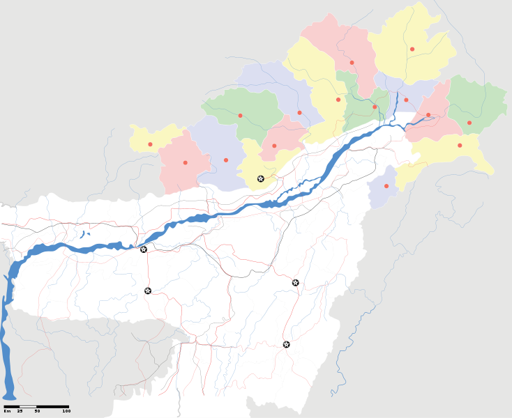
Arunachal Pradesh locator Map. Coordinates: top=29.49, bottom=23.74, left=89.61, right=97.52. |
||
| Descripción |
Map of w:Arunachal Pradesh with road and rail lines |
||
| Data | |||
| Fonte |
Trabayu propiu |
||
| Creador |
|
||
| Permisu (Cómo reutilizar esti ficheru) |
Yo, el titular de los drechos d'autor d'esta obra, la espublizo baxo la siguiente llicencia: Esti ficheru ta disponible baxo la llicencia Creative Commons Reconocimientu-Compartir igual 3.0 xenérica.
|
||
| Datos xeotemporales | |||
| Fecha representada | segunda mitad de siglo XX y siglo XXI | ||
| Xeorreferenciador | Si nun ye apropiao, define warp_status = skip pa tapecer. | ||
| Datos d'archivu | |||
| Notes | Part of WikiProject India Maps | ||
derivative works
Obras derivadas de ésta: India Arunachal Pradesh location map.svg
Historial del ficheru
Calca nuna fecha/hora pa ver el ficheru como taba daquella.
| Data/Hora | Miniatura | Dimensiones | Usuariu | Comentariu | |
|---|---|---|---|---|---|
| actual | 19:04 16 abr 2007 | | 2393 × 1956 (263 kB) | Planemad | {{WikiProject_India_Maps |Title=Arunachal Pradesh locator Map |Description=Map of w:Arunachal Pradesh with road and rail lines |Source= [http://www.iitg.ernet.in/rcilts/assam_political.jpg IIT Guwahati - Assam Political map], [http://arunachalgovernor |
Usu del ficheru
La páxina siguiente usa esti ficheru:
Usu global del ficheru
Estes otres wikis usen esti ficheru:
- Usu en as.wikipedia.org
- Usu en awa.wikipedia.org
- Usu en ba.wikipedia.org
- Usu en ca.wikipedia.org
- Usu en ceb.wikipedia.org
- Usu en de.wikipedia.org
- Usu en dty.wikipedia.org
- Usu en dv.wikipedia.org
- Usu en en.wikipedia.org
- Usu en es.wikipedia.org
- Usu en fa.wikipedia.org
- Usu en fr.wikipedia.org
- Usu en hif.wikipedia.org
- Usu en hi.wikipedia.org
- Usu en hr.wikipedia.org
- Usu en id.wikipedia.org
- Usu en incubator.wikimedia.org
- Usu en ja.wikipedia.org
- Usu en ka.wikipedia.org
- Usu en kbd.wikipedia.org
- Usu en mai.wikipedia.org
- Usu en ml.wikipedia.org
- Usu en ms.wikipedia.org
- Usu en new.wikipedia.org
- Usu en nl.wikipedia.org
Ver más usos globales d'esti ficheru.