
Ficheru:Armenia adm location map.svg

Ficheru orixinal (ficheru SVG, 1169 × 1198 píxels nominales, tamañu de ficheru: 146 kB)
Resume
| Descripción |
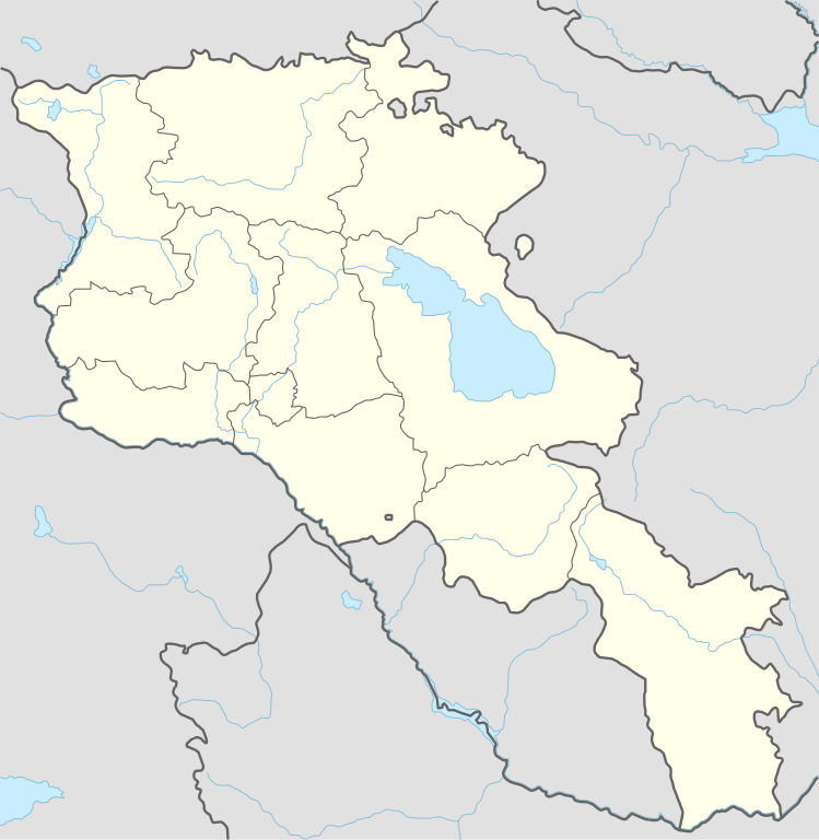
Deutsch: Positionskarte von Armenien
English: Location map of Armenia
|
||||||||||||
| Data | |||||||||||||
| Fonte |
Trabajo propio utilizando:
|
||||||||||||
| Autor | NordNordWest | ||||||||||||

|
Este mapa se ha hecho o mejorado en el Kartenwerkstatt (taller cartográfico) alemán. También puede proponer mapas para mejorar.
|
Llicencia
Usage of this file with:

explanatory notes: Legally binding is only the full legalcode. For a free usage I recommend to respect the following licence conditions:
1. Provide my name as given above: NordNordWest,
2. a copy of, or the URI for, the applicable license: https://creativecommons.org/licenses/by-sa/3.0/de/legalcode,
3. the title of the work,
4. in the case of an adaptation, a credit identifying the use of the work in the adaptation.
This license and the rights granted hereunder will terminate automatically upon any breach by you of the terms of this license. Any of the above conditions can be waived if you get permission from the copyright holder. If you have questions or wish differing conditions, please contact me through nnwest or my discussion page ![]() t-online.de
t-online.de
- Ye llibre:
- pa compartir – pa copiar, distribuir y comunicar públicamente la obra
- pa remezclar – p'adautar la obra
- Baxo les condiciones siguientes:
- reconocimientu – Tienes de dar el créitu apropiáu, apurrir un enllaz a la llicencia ya indicar si realizasti dalgún cambéu. Puedes faelo de cualquier mou razonable ,pero non de manera que suxera l'encontu del autor pa ti o pal usu que faigas.
- compartir igual – Si entemeces, tresformes o te bases nesti material, tienes de distribuir les tos contribuciones baxo la mesma llicencia o una compatible cola orixinal.

Historial del ficheru
Calca nuna fecha/hora pa ver el ficheru como taba daquella.
| Data/Hora | Miniatura | Dimensiones | Usuariu | Comentariu | |
|---|---|---|---|---|---|
| actual | 18:36 20 pay 2023 | | 1169 × 1198 (146 kB) | NordNordWest | back to original size |
| 10:34 20 pay 2023 |  | 512 × 524 (130 kB) | Toghrul R | updated | |
| 09:32 20 xin 2023 |  | 1169 × 1198 (152 kB) | Golden | updating NK borders - no control in the south, removing old Lachin corridor | |
| 17:06 14 pay 2020 |  | 1169 × 1198 (150 kB) | NordNordWest | . | |
| 20:58 21 och 2014 |  | 1169 × 1198 (161 kB) | NordNordWest | == {{int:filedesc}} == {{Information |Description= {{de|1=Positionskarte von Armenien}} {{en|1=Location map of Armenia}} {{Location map series N |stretching=130 |top=41.4 |bottom=38.8 |left=43.4 |right=46.7 }} |Source={{Own using}} * United States Nati... |
Usu del ficheru
Les páxines siguientes usen esti ficheru:
- Aeropuertu Internacional de Zvartnots
- Aeropuertu d'Erebuni
- Amberd
- Argishtikhinili
- Armavir (ciudá antigua)
- Baghaberd
- Bancu Central d'Armenia
- Berdkunk
- Castiellu d'Erebuni
- Castiellu de Bjni
- Castiellu de Yereván
- Ciudadela d'Horom
- Dvin
- Echmiadzin
- Fortaleza Ajtala
- Fortaleza Berdavan
- Fortaleza Berdkunk
- Fortaleza Dashtadem
- Fortaleza Halidzor
- Fortaleza d'Ertij
- Fortaleza de Kosh
- Fortaleza de Meghri
- Fuerte Tavush
- Guiumri
- Hnaberd (Aragatsotn)
- Kakavaberd
- Karmir Blur
- Lori Berd
- Matenadaran
- Proshaberd
- Sardari Berd
- Sev Berd
- Smbataberd
- Teishebaini
- Tsitsernakaberd
- Ushiberd
- Vorotnaberd
- Yeghegnadzor
- Yeghipatrush
- Yerevandashat (ciudá antigua)
- Yereván
- Yergevanits
- Módulu:Mapa de llocalización/datos/Armenia
- Módulu:Mapa de llocalización/datos/Armenia/usu
Usu global del ficheru
Estes otres wikis usen esti ficheru:
- Usu en af.wikipedia.org
- Usu en als.wikipedia.org
- Usu en an.wikipedia.org
- Usu en ar.wikipedia.org
- Usu en azb.wikipedia.org
- ساسونیک، روسیه
- مادینا، روسیه
- پارویر سواک، روسیه
- سوتک، روسیه
- مردزاوان
- آختالا، روسیه
- آراقاتسوتن
- آراکس، روسیه
- آماسیا، روسیه
- آیجک، روسیه
- آیجوان، روسیه
- باقرامیان، روسیه
- برکاشات، روسیه
- جراشن، روسیه
- خانجیان، روسیه
- داشت، روسیه
- شنیک، روسیه
- قاقارین، روسیه
- نور آرماویر
- نور کزاریا
- نور یدزیا
- نورئیکرت
- نورئیکرت، روسیه
- واناند، روسیه
- واهان، روسیه
- هایکاشن، روسیه
- ارمنیستانداکی دونیا میراثلاری لیستی
- Usu en az.wikipedia.org
Ver más usos globales d'esti ficheru.